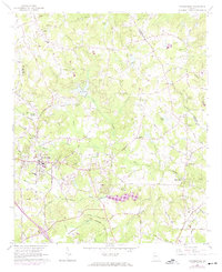
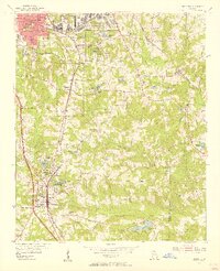
1964 Map of Stockbridge
USGS Topo · Published 1974About this map
The town of Stockbridge serves as the focal point for this mid-1960s survey, showing a landscape defined by the upper reaches of Big Cotton Indian Creek and its many tributaries. The area maintains a distinctly rural character, punctuated by numerous country churches such as Mount Vernon Ch and Bethel Ch, alongside ancestral burial grounds like the Selfridge Cem and Hemphill Memorial Ch. Industrial and community landmarks are visible, including the local Quarry, the historic Millers Mill, and the Smith-Barnes Sch serving the local population.
Find a feature on this map
109 named features on this map. Tap any name to fly to it.
Don’t see what you’re looking for? This feature index may not catch every label — zoom into the map to look around manually.
Map Details
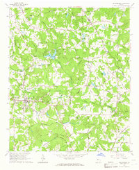
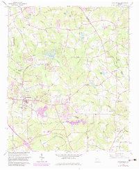
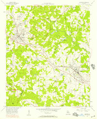
Editions of this 1964 Stockbridge Map
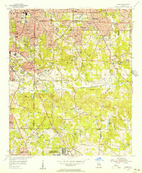
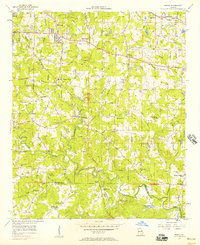
Other maps of this area

1888 · Atlanta
USGS Topo · 1:125,000

1890 · Atlanta
USGS Topo · 1:125,000

1892 · Atlanta
USGS Topo · 1:125,000

1895 · Atlanta
USGS Topo · 1:125,000

1953 · Atlanta
USGS Topo · 1:250,000
1954 · Conley
USGS Topo · 1:24,000
1954 · Jonesboro
USGS Topo · 1:24,000
1956 · Conyers
USGS Topo · 1:24,000
1956 · Redan
USGS Topo · 1:24,000

1957 · Atlanta
USGS Topo · 1:250,000