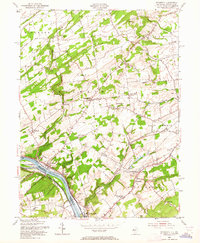
1954 Map of Stockton
USGS Topo · Published 1964About this map
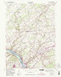
The Delaware River serves as the dominant boundary on this mid-century survey, dividing the village of Stockton in Hunterdon County from the Pennsylvania side at Center Bridge. The landscape is defined by the winding paths of Wickecheoke Creek and Alexauken Creek, which carve through the terrain toward the river. Notable for its historical infrastructure, the area includes the Green Sergeant Covered Bridge and the Delaware Canal running parallel to the riverbank. Small rural hubs like Sergeantsville, Rosemont, and Sand Brook are connected by a network of local routes including York Road and Opdyke Road. The mapping reveals a community structured around its spiritual and educational centers, from the Lower Amwell Ch and Sandy Ridge Ch to the West Amwell Sch. Local industry and recreation are also evident in the presence of a Quarry near the river and a Drive-in Theater along the road toward Lambertville.
Find a feature on this map
55 named features on this map. Tap any name to fly to it.
Don’t see what you’re looking for? This feature index may not catch every label — zoom into the map to look around manually.
Map Details
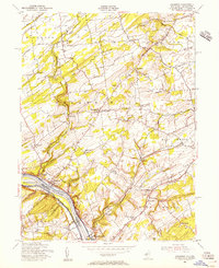
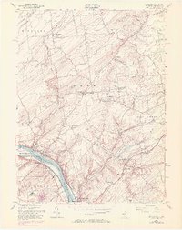
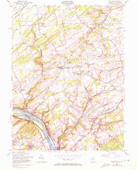
Editions of this 1954 Stockton Map
6 editions found
Other maps of this area

1890 · Easton
USGS Topo · 1:62,500

1890 · High Bridge
USGS Topo · 1:62,500

1890 · Lambertville
USGS Topo · 1:62,500

1890 · Doylestown
USGS Topo · 1:62,500

1891 · Easton
USGS Topo · 1:62,500

1891 · Lambertville
USGS Topo · 1:62,500

1891 · Doylestown
USGS Topo · 1:62,500

1894 · Lambertville
USGS Topo · 1:62,500

1898 · High Bridge
USGS Topo · 1:62,500

1900 · Raritan
USGS Topo · 1:125,000
Featured Places
- Raritan Township, NJ
- Solebury Township, PA
- East Amwell Township, NJ
- West Amwell Township, NJ
- Lambertville, NJ