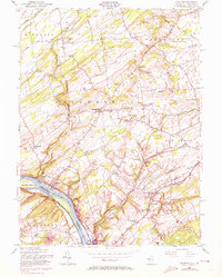
1954 Map of Stockton
USGS Topo · Published 1972About this map
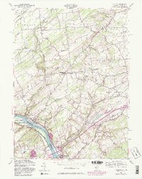
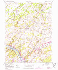
Delaware River watercraft and rail traffic define the western edge of this Hunterdon County landscape, where the Pennsylvania Canal and Belvidere Delaware RR parallel the shoreline. The 1954 cultural data, updated with 1970 aerial revisions, reveals a transition from the industrial riverfront at Stockton and Lambertville to the upland farming communities of Sergeantsville and Locktown. Local landmarks such as the Green Sergeant Covered Bridge over Wickecheoke Creek and various rural parish sites like Lower Amwell Ch illustrate the enduring settlement patterns of the region. The map also captures mid-century developments, including a Drive-in Theater near the East Amwell border, contrasting with older family and community landmarks like the Barber Cem and Prallsville Cem. Crossing into Pennsylvania, the survey shows the winding Solebury landscape and the connection at Center Bridge.
Find a feature on this map
52 named features on this map. Tap any name to fly to it.
Don’t see what you’re looking for? This feature index may not catch every label — zoom into the map to look around manually.
Map Details
Editions of this 1954 Stockton Map
6 editions found
Other maps of this area

1890 · Easton
USGS Topo · 1:62,500

1890 · High Bridge
USGS Topo · 1:62,500

1890 · Lambertville
USGS Topo · 1:62,500

1890 · Doylestown
USGS Topo · 1:62,500

1891 · Easton
USGS Topo · 1:62,500

1891 · Lambertville
USGS Topo · 1:62,500

1891 · Doylestown
USGS Topo · 1:62,500

1894 · Lambertville
USGS Topo · 1:62,500

1898 · High Bridge
USGS Topo · 1:62,500

1900 · Raritan
USGS Topo · 1:125,000
Featured Places
- Raritan Township, NJ
- Solebury Township, PA
- East Amwell Township, NJ
- West Amwell Township, NJ
- Lambertville, NJ