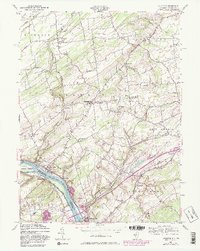
1954 Map of Stockton
USGS Topo · Published 1982About this map
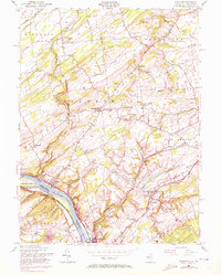
The Delaware River corridor serves as the focal point of this 1954 revision, which captures the riverine border between New Jersey and Pennsylvania. Along the eastern banks, the borough of Stockton and the northern edge of Lambertville mark the transition from river-bottom commerce to the rolling agricultural uplands of Delaware and West Amwell townships. This landscape is defined by the historic water engineering of the Delaware & Raritan Canal State Park and landmarks like the Green Sergeant Covered Bridge, which spans Wickecheoke Creek.
Find a feature on this map
56 named features on this map. Tap any name to fly to it.
Don’t see what you’re looking for? This feature index may not catch every label — zoom into the map to look around manually.
Map Details
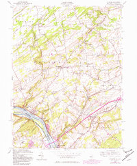
Editions of this 1954 Stockton Map
6 editions found
Other maps of this area

1890 · Easton
USGS Topo · 1:62,500

1890 · High Bridge
USGS Topo · 1:62,500

1890 · Lambertville
USGS Topo · 1:62,500

1890 · Doylestown
USGS Topo · 1:62,500

1891 · Easton
USGS Topo · 1:62,500

1891 · Lambertville
USGS Topo · 1:62,500

1891 · Doylestown
USGS Topo · 1:62,500

1894 · Lambertville
USGS Topo · 1:62,500

1898 · High Bridge
USGS Topo · 1:62,500

1900 · Raritan
USGS Topo · 1:125,000
Featured Places
- Raritan Township, NJ
- Solebury Township, PA
- East Amwell Township, NJ
- West Amwell Township, NJ
- Lambertville, NJ