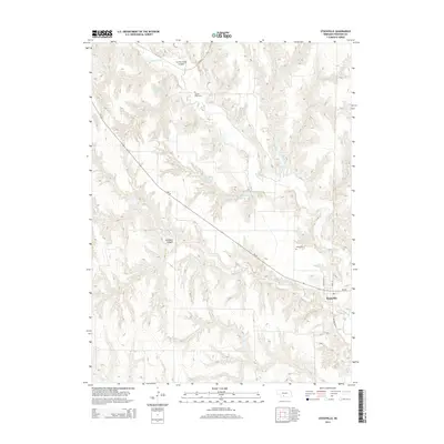
2014 Map of Stockville
USGS Topo · Published 2014About this map
Stockville serves as the focal point of this high-plains landscape, situated at the junction of Frontier St and Wellington St. The terrain is defined by the intricate drainage of Medicine Cr, which carves through the Loess Hills to create features like Curtis Creek Canyon and Saunders Canyon. This 2014 survey reveals a balance between natural watercourses and man-made water management, including Ruggles Reservoir and Houser Reservoir Number 1. For local historians and genealogists, the map identifies specific points of local heritage such as Sunset Point Cem and Arbor Cem, which sit amidst a network of rural roads dominated by the diagonal path of Ne-18. The settlement pattern reflects the persistent agricultural character of Frontier County, with widely spaced landmarks linked by the winding paths of Spring Cr and Coyote Cr.
Find a feature on this map
18 named features on this map. Tap any name to fly to it.
Don’t see what you’re looking for? This feature index may not catch every label — zoom into the map to look around manually.
Map Details
Editions of this 2014 Stockville Map
This is the sole edition of this map. No revisions or reprints were ever made.
Other maps of this area

1902 · Gothenburg
USGS Topo · 1:125,000

1954 · McCook
USGS Topo · 1:250,000

1956 · Freedom
USGS Topo · 1:24,000

1956 · Stockville NE
USGS Topo · 1:24,000

1956 · Moorefield
USGS Topo · 1:24,000

1956 · Quick NE
USGS Topo · 1:24,000

1956 · Curtis
USGS Topo · 1:24,000

1956 · Curtis SE
USGS Topo · 1:24,000

1956 · Stockville
USGS Topo · 1:24,000

1956 · Bartley NW
USGS Topo · 1:24,000