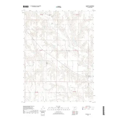
2017 Map of Stockville
USGS Topo · Published 2017About this map
Stockville serves as the primary hub of this Frontier County landscape, where the street grid of Wellington St and Franklin St meets the winding path of Medicine Cr. The area is defined by a deeply dissected topography, characterized by landforms such as Curtis Creek Canyon and Saunders Canyon. Water management is central to the local geography, evidenced by several man-made catchments including Ruggles Reservoir, Campbell Reservoir, and Houser Reservoir Number 1. This 2017 survey by the U.S. Geological Survey shows a network of section-line roads, such as RD 740 and RD 739, that navigate the breaks and drainages. For genealogists, the map identifies the locations of Sunset Point Cem to the north and Arbor Cem near the town site.
Find a feature on this map
43 named features on this map. Tap any name to fly to it.
Don’t see what you’re looking for? This feature index may not catch every label — zoom into the map to look around manually.
Map Details
Editions of this 2017 Stockville Map
This is the sole edition of this map. No revisions or reprints were ever made.
Other maps of this area

1902 · Gothenburg
USGS Topo · 1:125,000

1954 · McCook
USGS Topo · 1:250,000

1956 · Freedom
USGS Topo · 1:24,000

1956 · Stockville NE
USGS Topo · 1:24,000

1956 · Moorefield
USGS Topo · 1:24,000

1956 · Quick NE
USGS Topo · 1:24,000

1956 · Curtis
USGS Topo · 1:24,000

1956 · Curtis SE
USGS Topo · 1:24,000

1956 · Stockville
USGS Topo · 1:24,000

1956 · Bartley NW
USGS Topo · 1:24,000