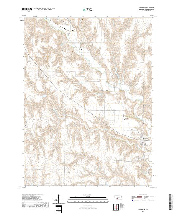
2021 Map of Stockville
USGS Topo · Published 2021About this map
Stockville serves as the focal point of this Frontier County survey, anchored by the Frontier County Courthouse at the intersection of Wellington St and Niagara St. The landscape is defined by the winding course of Medicine Cr and its various tributaries, including Coyote Cr and Spring Cr, which have carved distinctive landforms like Curtis Creek Canyon and Saunders Canyon. This area of the Loess Hills exhibits a specialized water management system through several named basins, such as Ruggles Reservoir and Houser Reservoir Number 1. For genealogists, the map preserves the exact locations of local burial grounds like Sunset Point Cem and Arbor Cem, situated amidst the section lines and rural road networks that organize the surrounding ranch and farm lands.
Find a feature on this map
41 named features on this map. Tap any name to fly to it.
Don’t see what you’re looking for? This feature index may not catch every label — zoom into the map to look around manually.
Map Details
Editions of this 2021 Stockville Map
This is the sole edition of this map. No revisions or reprints were ever made.
Other maps of this area

1902 · Gothenburg
USGS Topo · 1:125,000

1954 · McCook
USGS Topo · 1:250,000

1956 · Freedom
USGS Topo · 1:24,000

1956 · Stockville NE
USGS Topo · 1:24,000

1956 · Moorefield
USGS Topo · 1:24,000

1956 · Quick NE
USGS Topo · 1:24,000

1956 · Curtis
USGS Topo · 1:24,000

1956 · Curtis SE
USGS Topo · 1:24,000

1956 · Stockville
USGS Topo · 1:24,000

1956 · Bartley NW
USGS Topo · 1:24,000