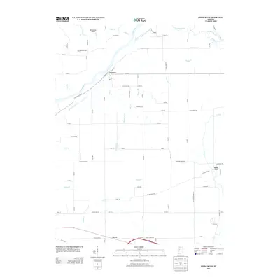
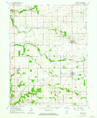
2013 Map of Stone Bluff
USGS Topo · Published 2013About this map
Fountain and Stone Bluff anchor this part of western Indiana, where the Wabash River bends through a landscape deeply etched by numerous creek systems. The legacy of 19th-century infrastructure is visible in the alignment of the Wabash and Erie Canal, which runs parallel to the river. The terrain is marked by distinctive natural features like Portland Arch and the secluded Rattlesnake Hollow, while the agricultural character of the county is evidenced by a dense grid of secondary roads such as W Salem Church Rd and W Covered Bridge Rd. This area reflects a long-standing settlement pattern where small villages like Layton grew alongside established transport corridors. Waterways including Coal Cr, Bear Cr, and Graham Cr define the drainage of the region, creating a complex network of banks and hollows.
Find a feature on this map
87 named features on this map. Tap any name to fly to it.
Don’t see what you’re looking for? This feature index may not catch every label — zoom into the map to look around manually.
Map Details
Editions of this 2013 Stone Bluff Map
This is the sole edition of this map. No revisions or reprints were ever made.
Other maps of this area

1953 · Danville
USGS Topo · 1:250,000

1955 · Danville
USGS Topo · 1:250,000

1956 · Danville
USGS Topo · 1:250,000

1958 · Stonebluff
USGS Topo · 1:24,000
1958 · Veedersburg
USGS Topo · 1:24,000
1958 · Perrysville
USGS Topo · 1:24,000
1958 · Covington
USGS Topo · 1:24,000

1961 · West Lebanon
USGS Topo · 1:24,000

1962 · Williamsport
USGS Topo · 1:24,000
1962 · Mellott
USGS Topo · 1:24,000