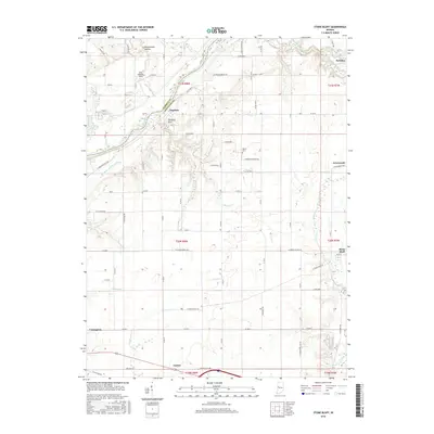
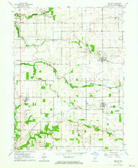
2016 Map of Stone Bluff
USGS Topo · Published 2016About this map
The Wabash River carves a distinctive path through this portion of Fountain County, where the legacy of nineteenth-century transportation is visible in the remnants of the Wabash and Erie Canal. This waterway once linked the Great Lakes to the Ohio River, and its alignment here parallels the river near the settlement of Fountain. The landscape is defined by its drainage networks, including Rattlesnake Cr and Coal Creek, which feed into the primary river valley.
Find a feature on this map
83 named features on this map. Tap any name to fly to it.
Don’t see what you’re looking for? This feature index may not catch every label — zoom into the map to look around manually.
Map Details
Editions of this 2016 Stone Bluff Map
This is the sole edition of this map. No revisions or reprints were ever made.
Other maps of this area

1953 · Danville
USGS Topo · 1:250,000

1955 · Danville
USGS Topo · 1:250,000

1956 · Danville
USGS Topo · 1:250,000

1958 · Stonebluff
USGS Topo · 1:24,000
1958 · Veedersburg
USGS Topo · 1:24,000
1958 · Perrysville
USGS Topo · 1:24,000
1958 · Covington
USGS Topo · 1:24,000

1961 · West Lebanon
USGS Topo · 1:24,000

1962 · Williamsport
USGS Topo · 1:24,000
1962 · Mellott
USGS Topo · 1:24,000