
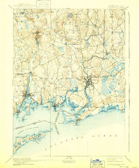
1893 Map of Stonington
USGS Topo · Published 1893About this map
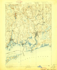
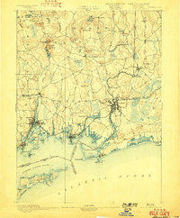
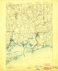
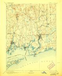
The Pawcatuck River serves as the focal point of this coastal survey, weaving through industrial and maritime centers at the turn of the century. The twin hubs of Westerly and Stillmanville straddle the riverbank, where the New York Providence and Boston Railroad provides a critical transport corridor through the shoreline landscape. Along the coast, the maritime character of the era is evident in the presence of a Light House at Stonington Pt. and a Life Saving Station near Napatree Beach, guarding the entrance to Little Narragansett Bay. Inland, the economy is marked by diverse industry and agriculture, ranging from the Silex Mine near Lantern Hill to the mills of Potter Hill and Ashaway. The map captures a complex network of family-named hills like Ayer Hill and Champlin Hill, reflecting a deeply settled 19th-century landscape before the expansion of modern infrastructure.
Find a feature on this map
89 named features on this map. Tap any name to fly to it.
Don’t see what you’re looking for? This feature index may not catch every label — zoom into the map to look around manually.
Map Details
Editions of this 1893 Stonington Map
10 editions found
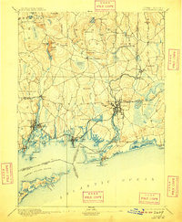
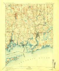
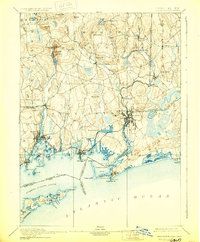
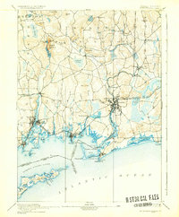
Other maps of this area

1889 · Stonington
USGS Topo · 1:62,500

1889 · Charlestown
USGS Topo · 1:62,500

1889 · Block Island
USGS Topo · 1:62,500

1889 · Moosup
USGS Topo · 1:62,500

1890 · Kent
USGS Topo · 1:62,500

1892 · New London
USGS Topo · 1:62,500

1892 · Norwich
USGS Topo · 1:62,500

1893 · Moosup
USGS Topo · 1:62,500

1893 · New London
USGS Topo · 1:62,500

1894 · Block Island
USGS Topo · 1:62,500