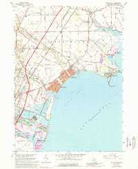
1967 Map of Stony Point
USGS Topo · Published 1989About this map
The shoreline of Lake Erie defines the character of this Michigan map, where the coastal lowlands meet the industrialized mouth of the Raisin River. This survey captures a transitional landscape of seasonal cottages and permanent residential developments at Woodland Beach and Detroit Beach, contrasted with the specialized infrastructure of the Enrico Fermi Powerplant at Stony Point. Further inland, the map preserves the mid-century footprint of small agricultural communities like Oldport, served by a dense network of drains such as Malosh Drain and Swan Creek. The presence of the Verona Fathers Seminary and the Old St Charles Cem provides specific points of interest for genealogists tracing the religious and social history of Berlin Township and Frenchtown Township. The transportation corridors of the Penn Central Railroad and the Toledo Freeway highlight the region's role as a vital link between major Great Lakes hubs.
Find a feature on this map
98 named features on this map. Tap any name to fly to it.
Don’t see what you’re looking for? This feature index may not catch every label — zoom into the map to look around manually.
Map Details
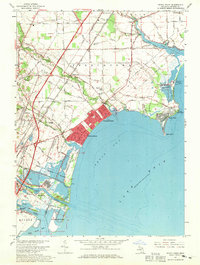
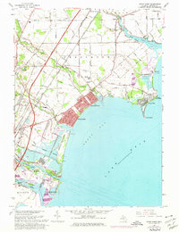
Editions of this 1967 Stony Point Map
3 editions found
Other maps of this area

1906 · Wyandotte
USGS Topo · 1:62,500

1906 · Romulus
USGS Topo · 1:62,500

1912 · Wyandotte
USGS Topo · 1:62,500

1912 · Monroe
USGS Topo · 1:62,500

1914 · Monroe
USGS Topo · 1:62,500

1927 · Monroe
USGS Topo · 1:31,680

1928 · Romulus
USGS Topo · 1:62,500

1929 · Wyandotte
USGS Topo · 1:62,500

1936 · Rockwood
USGS Topo · 1:31,680

1936 · Stony Point
USGS Topo · 1:31,680
Featured Places
- Frenchtown Charter Township, MI
- Monroe, MI
- Monroe Charter Township, MI
- Berlin Charter Township, MI
- Detroit Beach, Frenchtown Charter Township