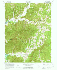
1967 Map of Story
USGS Topo · Published 1968About this map
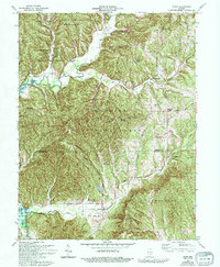
The Old Indian Treaty Boundary carves a diagonal path across this 1967 survey, marking a legacy of early frontier surveying that still dictates property lines and road placements. This area of Southern Indiana is characterized by the convergence of several major public lands, including Brown County State Park, Yellowwood State Forest, and the sprawling Hoosier National Forest. The landscape is a network of ridges and hollows, such as Oak Ridge and Wilson Hollow, which feed into the Salt Creek system and the rising waters of Monroe Lake.
Find a feature on this map
61 named features on this map. Tap any name to fly to it.
Don’t see what you’re looking for? This feature index may not catch every label — zoom into the map to look around manually.
Map Details
Editions of this 1967 Story Map
7 editions found
Other maps of this area

1934 · Bedford
USGS Topo · 1:48,000

1937 · Bedford
USGS Topo · 1:62,500

1942 · Franklin
USGS Topo · 1:125,000

1946 · Belmont
USGS Topo · 1:24,000

1947 · Nashville
USGS Topo · 1:24,000

1947 · Elkinsville
USGS Topo · 1:24,000

1948 · New Bellsville
USGS Topo · 1:24,000

1948 · Waymansville
USGS Topo · 1:24,000

1949 · Nashville
USGS Topo · 1:24,000

1950 · Belmont
USGS Topo · 1:24,000