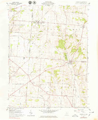
1961 Map of Stoutsville
USGS Topo · Published 1979About this map
The agricultural landscape of the Pickaway and Fairfield County border is defined by the winding course of Salt Creek and its many tributaries, including Wolf Creek and Scippo Creek. This early 1960s snapshot shows a region anchored by small villages like Stoutsville and Tarlton, connected by historic thoroughfares such as the Zane Trail. The era's educational and social infrastructure is visible through the presence of the Logan Elm High School and the County Infirmary located near the Fairfield County line.
Find a feature on this map
68 named features on this map. Tap any name to fly to it.
Don’t see what you’re looking for? This feature index may not catch every label — zoom into the map to look around manually.
Map Details
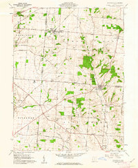
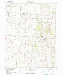
Editions of this 1961 Stoutsville Map
3 editions found
Other maps of this area

1906 · Chillicothe
USGS Topo · 1:62,500

1907 · Lancaster
USGS Topo · 1:62,500

1908 · Chillicothe
USGS Topo · 1:62,500

1909 · Lancaster
USGS Topo · 1:62,500

1910 · Laurelville
USGS Topo · 1:62,500

1912 · Laurelville
USGS Topo · 1:62,500

1914 · Circleville
USGS Topo · 1:62,500

1943 · Circleville
USGS Topo · 1:62,500

1944 · Laurelville
USGS Topo · 1:62,500

1947 · Columbus
USGS Topo · 1:250,000