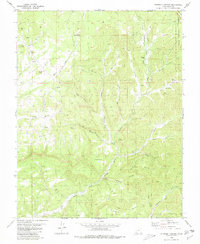
1980 Map of Straight Canyon
USGS Topo · Published 1980About this map
The North Fork Virgin River and its major tributaries, such as Ashdown Fork, carve through this section of Dixie National Forest in the late 1970s. The landscape is defined by massive topographic shifts, including the Pink Cliffs and Table Bench. This survey provides a record of the area's hydrology and land management just before the turn of the decade, noting remote water sources like Bulloch Spring and Lower Bear Spring. Evidence of human activity is sparse but specific, indicated by a Gaging Sta on the river and a network of Jeep Trails and the Pink Cliffs Trail navigating the canyons. Named high points like Pine Knoll and Horse Knoll rise above The Plains, while the complex drainage systems of Stevens Canyon and Orderville Canyon illustrate the intricate erosion patterns characteristic of the Kane County high country.
Find a feature on this map
39 named features on this map. Tap any name to fly to it.
Don’t see what you’re looking for? This feature index may not catch every label — zoom into the map to look around manually.
Map Details
Editions of this 1980 Straight Canyon Map
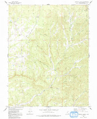
2 editions found
Other maps of this area

1886 · Kanab
USGS Topo · 1:250,000

1953 · Cedar City
USGS Topo · 1:250,000

1954 · Orderville Canyon NW
USGS Topo · 1:24,000

1954 · Orderville Canyon SE
USGS Topo · 1:24,000

1957 · Orderville Canyon NE
USGS Topo · 1:24,000

1958 · Cedar City
USGS Topo · 1:250,000

1958 · Orderville
USGS Topo · 1:62,500

1958 · Cedar Breaks
USGS Topo · 1:62,500

1958 · Panguitch Lake
USGS Topo · 1:62,500

1962 · Cedar City
USGS Topo · 1:250,000