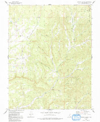
1980 Map of Straight Canyon
USGS Topo · Published 1991About this map
The North Fork Virgin River carves a complex path through this section of the Dixie National Forest, defined by a network of deep drainage systems like Ashdown Fork and Straight Canyon. Surveyed in the 1970s and revised in 1980, the landscape reveals a transition from the elevated terrain of Table Bench and The Plains down into the narrow corridors of Orderville Gulch and Bauer Canyon.
Find a feature on this map
34 named features on this map. Tap any name to fly to it.
Don’t see what you’re looking for? This feature index may not catch every label — zoom into the map to look around manually.
Map Details
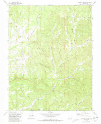
Editions of this 1980 Straight Canyon Map
2 editions found
Other maps of this area

1886 · Kanab
USGS Topo · 1:250,000

1953 · Cedar City
USGS Topo · 1:250,000

1954 · Orderville Canyon NW
USGS Topo · 1:24,000

1954 · Orderville Canyon SE
USGS Topo · 1:24,000

1957 · Orderville Canyon NE
USGS Topo · 1:24,000

1958 · Cedar City
USGS Topo · 1:250,000

1958 · Orderville
USGS Topo · 1:62,500

1958 · Cedar Breaks
USGS Topo · 1:62,500

1958 · Panguitch Lake
USGS Topo · 1:62,500

1962 · Cedar City
USGS Topo · 1:250,000