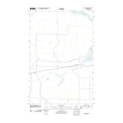
2011 Map of Stratford
USGS Topo · Published 2011About this map
Crab Creek winds through this central Washington landscape, where irrigation infrastructure and natural water bodies define the rural layout. The community of Stratford sits along a prominent corridor, while to the west, the railway-linked settlement of Adco and its associated Adco Siding mark the transition toward more open terrain. The northern and eastern reaches of the sheet are dominated by significant water management features, including the expanse of Billy Clapp Lake and Brook Lake, regulated by the Pinto Dam.
Find a feature on this map
21 named features on this map. Tap any name to fly to it.
Don’t see what you’re looking for? This feature index may not catch every label — zoom into the map to look around manually.
Map Details
Editions of this 2011 Stratford Map
This is the sole edition of this map. No revisions or reprints were ever made.
Other maps of this area

1953 · Ritzville
USGS Topo · 1:250,000

1956 · Stratford
USGS Topo · 1:24,000

1956 · Grant Orchards
USGS Topo · 1:24,000

1956 · Gloyd
USGS Topo · 1:24,000

1956 · Wilson Creek SW
USGS Topo · 1:24,000

1956 · Wilson Creek NW
USGS Topo · 1:24,000

1956 · Soap Lake
USGS Topo · 1:24,000

1956 · Wilson Creek
USGS Topo · 1:62,500

1959 · Ritzville
USGS Topo · 1:250,000

1965 · Ritzville
USGS Topo · 1:250,000