2017 Map of Stratford
USGS Topo · Published 2017About this map
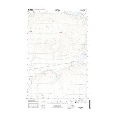
Stratford and the nearby siding of Adco anchor this central Washington landscape, where the basalt-carved terrain of the Grand Coulee region meets mid-century irrigation infrastructure. The map depicts the significant water management systems of the Columbia Basin Project, notably the E Low Canal Rd NE which follows the contours of the land to the west of Black Butte. This basalt landmark rises above the winding course of Crab Cr, a vital drainage that feeds into Brook Lake south of the Stratford townsite. To the north, the massive expanse of Billy Clapp Lake fills the ancient path of Dry Coulee, illustrating the dramatic transformation of the desert through modern engineering. The intricate grid of rural roads, such as Pinto Ridge Rd NE and Stratford Rd Ne, provides a detailed look at how the region's agricultural and transportation networks were organized by 2017.
Find a feature on this map
30 named features on this map. Tap any name to fly to it.
Don’t see what you’re looking for? This feature index may not catch every label — zoom into the map to look around manually.
Map Details
Editions of this 2017 Stratford Map
This is the sole edition of this map. No revisions or reprints were ever made.
Other maps of this area

1953 · Ritzville
USGS Topo · 1:250,000

1956 · Stratford
USGS Topo · 1:24,000

1956 · Grant Orchards
USGS Topo · 1:24,000

1956 · Gloyd
USGS Topo · 1:24,000

1956 · Wilson Creek SW
USGS Topo · 1:24,000

1956 · Wilson Creek NW
USGS Topo · 1:24,000

1956 · Soap Lake
USGS Topo · 1:24,000

1956 · Wilson Creek
USGS Topo · 1:62,500

1959 · Ritzville
USGS Topo · 1:250,000

1965 · Ritzville
USGS Topo · 1:250,000