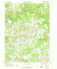
1968 Map of Strattanville
USGS Topo · Published 1972About this map
Strattanville and the surrounding townships of Clarion, Limestone, and Monroe are defined here by a landscape of resource extraction and community infrastructure. Extensive Strip Mines and a pervasive Gas Field with numerous wells mark the hills, particularly around Mechanicsville and south of Millcreek. This industrial activity exists alongside established local landmarks like the Rehoboth Ch, Old Seceder Cem, and the Clarion-Limestone High Sch.
Find a feature on this map
50 named features on this map. Tap any name to fly to it.
Don’t see what you’re looking for? This feature index may not catch every label — zoom into the map to look around manually.
Map Details
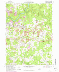
Editions of this 1968 Strattanville Map
2 editions found
Other maps of this area

1906 · Clarion
USGS Topo · 1:62,500

1907 · Clarion
USGS Topo · 1:62,500

1918 · Loleta
USGS Topo · 1:62,500

1922 · Tionesta
USGS Topo · 1:62,500

1924 · Tionesta
USGS Topo · 1:62,500

1924 · Brookville
USGS Topo · 1:62,500

1926 · Brookville
USGS Topo · 1:62,500

1936 · Marienville
USGS Topo · 1:48,000

1941 · Marienville
USGS Topo · 1:62,500

1944 · Brookville
USGS Topo · 1:62,500