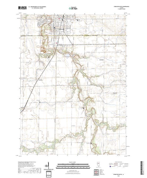
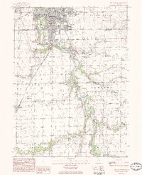
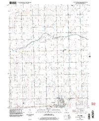
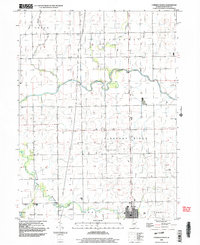
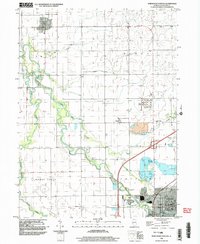
2024 Map of Streator South
USGS Topo · Published 2024About this map
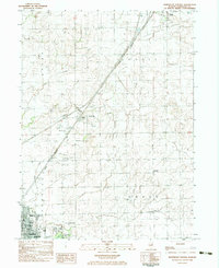
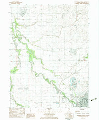
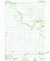
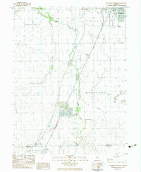
The Vermilion River carves a winding path through this central Illinois landscape, defining the transition from the grid-iron streets of Streator and South Streator to the agricultural reaches of Livingston County. A concentration of burial grounds, including the historic Old Saint Stephens Cem, Saint Marys Cem, and Riverview Cem, sits north of the river, marking the community's established history. The terrain to the south is shaped by numerous tributaries such as Moon Creek, Prairie Creek, and Long Point Creek, which cut through the fertile plains.
Find a feature on this map
104 named features on this map. Tap any name to fly to it.
Don’t see what you’re looking for? This feature index may not catch every label — zoom into the map to look around manually.
Map Details
Editions of this 2024 Streator South Map
This is the sole edition of this map. No revisions or reprints were ever made.
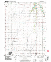
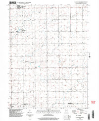
Historical Maps of Vermilion City Through Time
32 maps found
1983 Blackstone
Livingston County, IL
1983 Chatsworth North
Livingston County, IL

1983 Flanagan North
Livingston County, IL
1983 Forrest North
Livingston County, IL
1983 Northeast Pontiac
Livingston County, IL
1983 Northwest Pontiac
Livingston County, IL
1983 Southeast Pontiac
Livingston County, IL
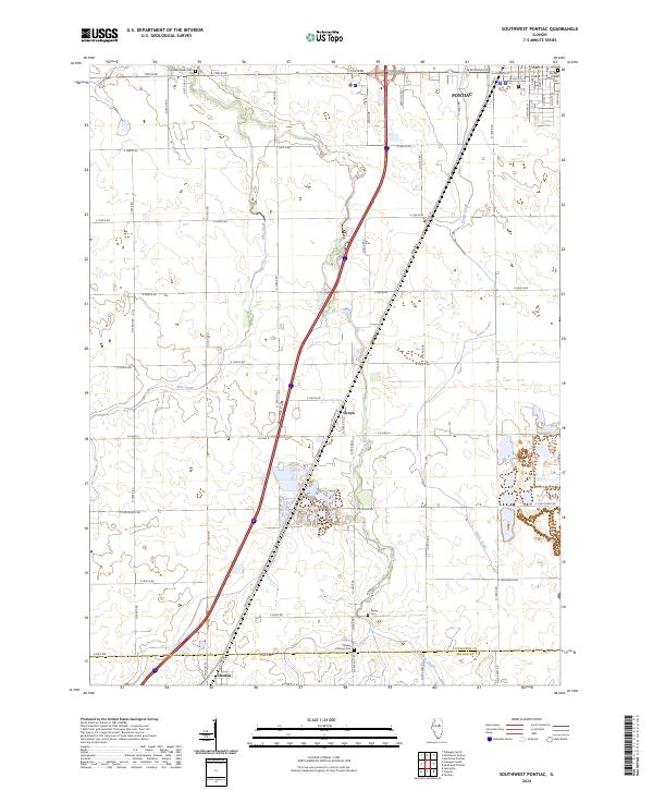
1983 Southwest Pontiac
Livingston County, IL
1983 Streator South
Livingston County, IL
1984 Flanagan South
Livingston County, IL
1986 Chatsworth South
Livingston County, IL
1986 Forrest South
Livingston County, IL
1998 Chatsworth North
Livingston County, IL
1998 Flanagan North
Livingston County, IL
1998 Flanagan South
Livingston County, IL
1998 Forrest North
Livingston County, IL
1998 Northwest Pontiac
Livingston County, IL
1998 Southwest Pontiac
Livingston County, IL
2001 Northeast Pontiac
Livingston County, IL
2001 Southeast Pontiac
Livingston County, IL
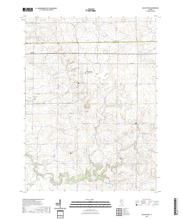
2024 Blackstone
Livingston County, IL
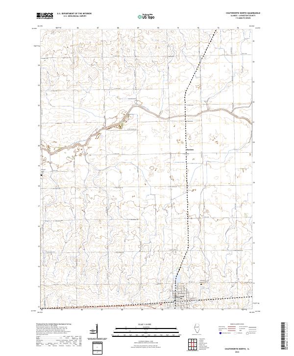
2024 Chatsworth North
Livingston County, IL
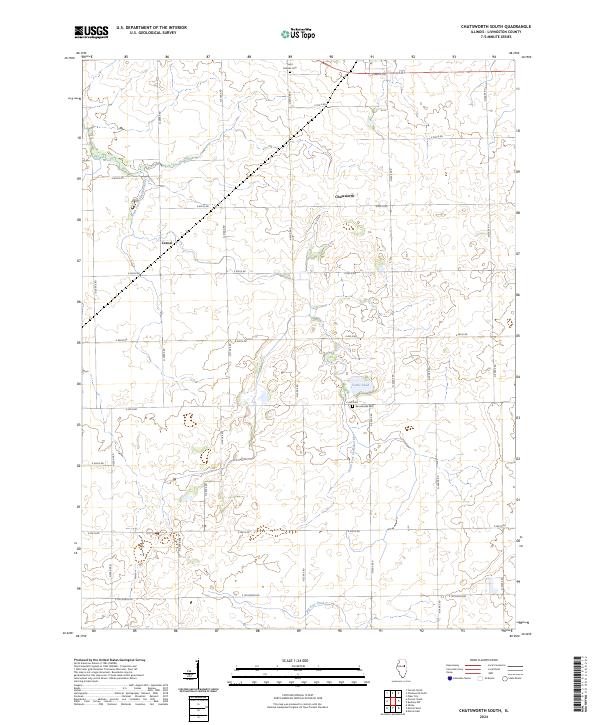
2024 Chatsworth South
Livingston County, IL
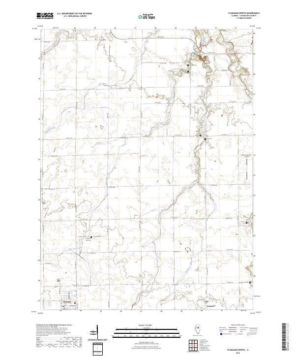
2024 Flanagan North
Livingston County, IL

2024 Flanagan South
Livingston County, IL
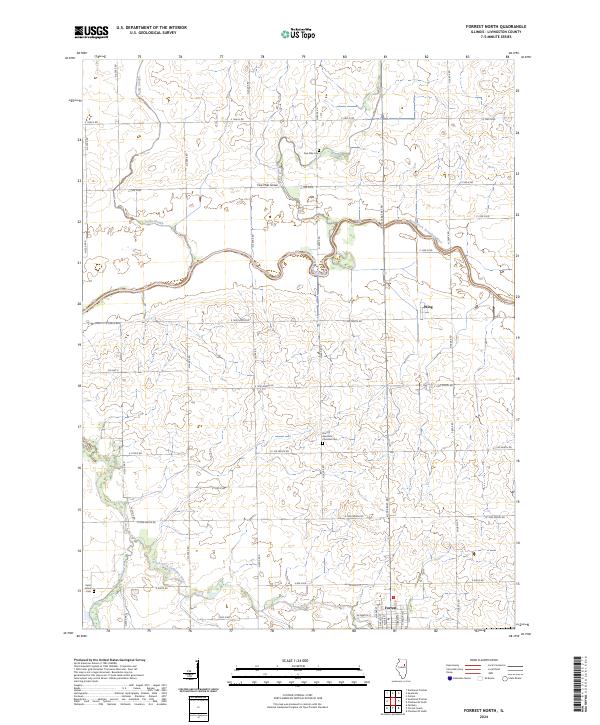
2024 Forrest North
Livingston County, IL
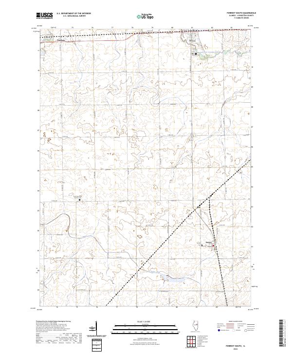
2024 Forrest South
Livingston County, IL
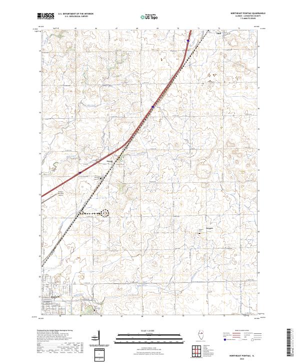
2024 Northeast Pontiac
Livingston County, IL
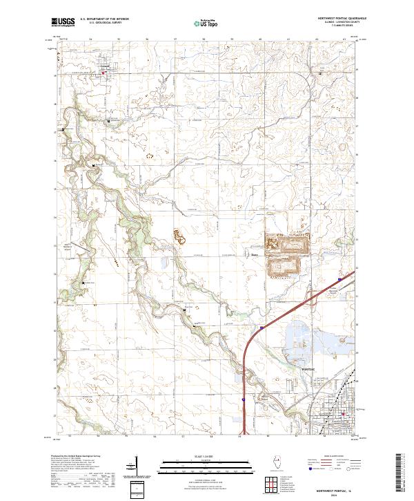
2024 Northwest Pontiac
Livingston County, IL

2024 Southeast Pontiac
Livingston County, IL
2024 Southwest Pontiac
Livingston County, IL
2024 Streator South
Livingston County, IL