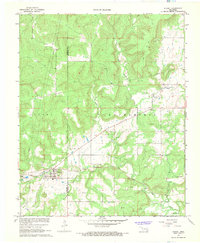
1967 Map of Stuart
USGS Topo · Published 1968About this map
Stuart serves as the primary hub on this late 1960s survey, situated where the Chicago Rock Island and Pacific railroad cuts across the western edge of the quadrangle. The terrain transitions from the developed town grid to the surrounding hills of Stuart and Bucklucky, marked by a network of resource extraction including numerous Gas Wells and Gravel Pits. The rural landscape east of town is defined by its watercourses, most notably Coal Creek and Big Wildhorse Creek, which weave through the timbered hills.
Find a feature on this map
19 named features on this map. Tap any name to fly to it.
Don’t see what you’re looking for? This feature index may not catch every label — zoom into the map to look around manually.
Map Details
Editions of this 1967 Stuart Map
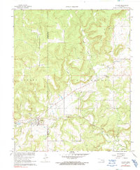
2 editions found
Other maps of this area

1896 · Coalgate
USGS Topo · 1:125,000

1898 · McAlester
USGS Topo · 1:125,000

1899 · Coalgate
USGS Topo · 1:125,000

1900 · Canadian
USGS Topo · 1:125,000

1900 · Wewoka
USGS Topo · 1:125,000

1900 · Coalgate
USGS Topo · 1:125,000

1909 · Mc Alester
USGS Topo · 1:125,000

1946 · Fort Smith
USGS Topo · 1:250,000

1950 · Mcalester
USGS Topo · 1:250,000

1954 · Oklahoma City
USGS Topo · 1:250,000