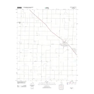
2012 Map of Sudan
USGS Topo · Published 2012About this map
Sudan stands as a central hub in the Panhandle’s agricultural landscape, where the town’s grid is strictly oriented alongside the diagonal path of the railroad and Santa Fe Ave. The surrounding terrain in Lamb County is defined by an exacting grid of section roads, including Ranch Road 303 and FM-303, which segment the plains into large-scale farming tracts. Local history is anchored by the Sudan Cem and a network of named streets such as Barron St, Commerce St, and N Main St. Transportation and infrastructure are vital to this rural economy, evidenced by the presence of both the Sudan Airport and Fairview Field Airport to the northwest. This 2012 survey illustrates the enduring intersection of rail transport and modern highway access that continues to shape the community.
Find a feature on this map
41 named features on this map. Tap any name to fly to it.
Don’t see what you’re looking for? This feature index may not catch every label — zoom into the map to look around manually.
Map Details
Editions of this 2012 Sudan Map
This is the sole edition of this map. No revisions or reprints were ever made.
Other maps of this area

1954 · Clovis
USGS Topo · 1:250,000

1954 · Brownfield
USGS Topo · 1:250,000

1958 · Brownfield
USGS Topo · 1:250,000

1958 · Clovis
USGS Topo · 1:250,000

1962 · Brownfield
USGS Topo · 1:250,000

1962 · Muleshoe
USGS Topo · 1:24,000

1962 · Needmore
USGS Topo · 1:24,000

1962 · Amherst
USGS Topo · 1:24,000

1962 · Sudan
USGS Topo · 1:24,000

1962 · Muleshoe NE
USGS Topo · 1:24,000