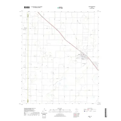
2019 Map of Sudan
USGS Topo · Published 2019About this map
Sudan serves as the primary hub of this Llano Estacado landscape, defined by its rigid grid of section roads and the diagonal path of U.S. Route 84. The town's layout is centered around several key thoroughfares including Main St, Temple St, and E 1st Ave, while the Sudan Airport sits on the southeastern edge. This 2019 survey illustrates the organized agricultural nature of Lamb Co, where the land is partitioned into large parcels served by an extensive network of county roads such as Co Rd 168 and Co Rd 228. To the northwest, the small settlement of Fairview and the nearby Fairview Field provide additional points of local orientation. Genealogists and local historians can pinpoint family-related locations via the Sudan Cem, which is positioned west of the main town site along FM 298.
Find a feature on this map
45 named features on this map. Tap any name to fly to it.
Don’t see what you’re looking for? This feature index may not catch every label — zoom into the map to look around manually.
Map Details
Editions of this 2019 Sudan Map
This is the sole edition of this map. No revisions or reprints were ever made.
Other maps of this area

1954 · Clovis
USGS Topo · 1:250,000

1954 · Brownfield
USGS Topo · 1:250,000

1958 · Brownfield
USGS Topo · 1:250,000

1958 · Clovis
USGS Topo · 1:250,000

1962 · Brownfield
USGS Topo · 1:250,000
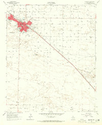
1962 · Muleshoe
USGS Topo · 1:24,000
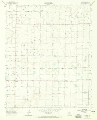
1962 · Needmore
USGS Topo · 1:24,000
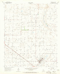
1962 · Amherst
USGS Topo · 1:24,000
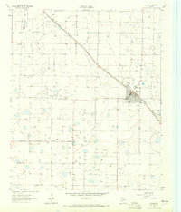
1962 · Sudan
USGS Topo · 1:24,000
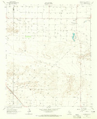
1962 · Muleshoe NE
USGS Topo · 1:24,000