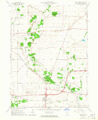
1964 Map of Sugar Grove
USGS Topo · Published 1965About this map
Blackberry Creek winds through this central Kane County landscape, providing a natural corridor for the Burlington and Quincy Railroad and several established forest preserves. The village of Sugar Grove serves as the primary hub, anchored by its proximity to the Aurora Municipal Airport and the historic Sugar Grove Cem. The map illustrates a period of mid-century growth where new residential areas like Nottingham Woods began to appear amidst traditional agricultural land and numerous Gravel Pits.
Find a feature on this map
47 named features on this map. Tap any name to fly to it.
Don’t see what you’re looking for? This feature index may not catch every label — zoom into the map to look around manually.
Map Details
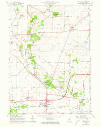
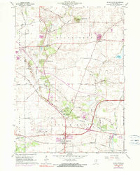
Editions of this 1964 Sugar Grove Map
3 editions found
Other maps of this area

1925 · Yorkville
USGS Topo · 1:62,500

1932 · Geneva
USGS Topo · 1:62,500

1937 · Sycamore
USGS Topo · 1:62,500

1948 · Geneva
USGS Topo · 1:62,500

1948 · Sandwich
USGS Topo · 1:62,500

1949 · Geneva
USGS Topo · 1:24,000

1950 · Sandwich
USGS Topo · 1:62,500

1950 · Aurora North
USGS Topo · 1:24,000

1953 · Yorkville
USGS Topo · 1:24,000
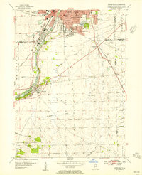
1954 · Aurora South
USGS Topo · 1:24,000
Featured Places
- Aurora, IL
- North Aurora, IL
- Sugar Grove, Sugar Grove Township
- Elburn, Blackberry Township
- Big Rock, Big Rock Township