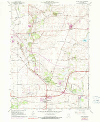
1964 Map of Sugar Grove
USGS Topo · Published 1990About this map
Sugar Grove and the surrounding township show a landscape in transition as the mid-century agricultural patterns meet modern infrastructure. The Burlington Northern railroad corridor and the Aurora Municipal Airport anchor the southern portion of the map, while Blackberry Creek winds through the central valley. Notable glacial features like Johnsons Mound and Bald Mound rise above the surrounding farmland, preserved in part by the Johnsons Mound Forest Preserve.
Find a feature on this map
53 named features on this map. Tap any name to fly to it.
Don’t see what you’re looking for? This feature index may not catch every label — zoom into the map to look around manually.
Map Details
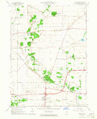
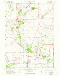
Editions of this 1964 Sugar Grove Map
3 editions found
Other maps of this area

1925 · Yorkville
USGS Topo · 1:62,500

1932 · Geneva
USGS Topo · 1:62,500

1937 · Sycamore
USGS Topo · 1:62,500

1948 · Geneva
USGS Topo · 1:62,500

1948 · Sandwich
USGS Topo · 1:62,500

1949 · Geneva
USGS Topo · 1:24,000

1950 · Sandwich
USGS Topo · 1:62,500

1950 · Aurora North
USGS Topo · 1:24,000

1953 · Yorkville
USGS Topo · 1:24,000
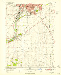
1954 · Aurora South
USGS Topo · 1:24,000