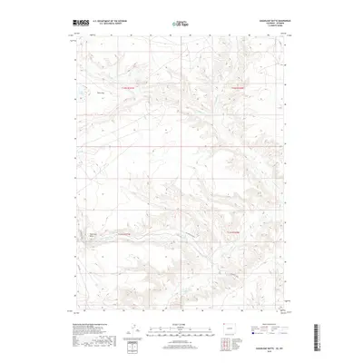
2019 Map of Sugarloaf Butte
USGS Topo · Published 2019About this map
Sugarloaf Butte rises as a prominent landmark in this high-country landscape near the Colorado-Wyoming border. The drainage network is clearly defined by the paths of Vermillion Cr and its tributary Talamantes Cr, which weave through the canyons and draws of the northwestern Colorado plateau. This 2019 survey documents the modern state of the land, showing the sparse but critical water features such as Fonce Lake and the smaller G Lake that dot the high-elevation terrain. Access into this area of Moffat County is provided by rural routes like Co Rd 10N and Co Rd 4, which traverse the broad expanse of Fonce Flat. The map offers a detailed view of the township and range divisions, specifically covering sections of T11N and T12N, providing a precise spatial reference for land ownership and geographical study in this corner of the state.
Find a feature on this map
14 named features on this map. Tap any name to fly to it.
Don’t see what you’re looking for? This feature index may not catch every label — zoom into the map to look around manually.
Map Details
Editions of this 2019 Sugarloaf Butte Map
This is the sole edition of this map. No revisions or reprints were ever made.
Other maps of this area

1954 · Vernal
USGS Topo · 1:250,000

1954 · Rock Springs
USGS Topo · 1:250,000

1958 · Vernal
USGS Topo · 1:250,000

1958 · Rock Springs
USGS Topo · 1:250,000

1960 · Vernal
USGS Topo · 1:250,000

1962 · Rock Springs
USGS Topo · 1:250,000

1963 · Scrivner Butte
USGS Topo · 1:24,000

1966 · G Spring
USGS Topo · 1:24,000

1966 · Sugarloaf Butte
USGS Topo · 1:24,000

1966 · Big Joe Basin
USGS Topo · 1:24,000