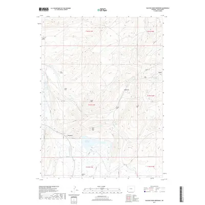
2017 Map of Sulphur Creek Reservoir
USGS Topo · Published 2017About this map
Beartown sits at the heart of this high-country landscape in southwest Wyoming, where the headwaters of the Bear River meet the western foothills of the Uinta Mountains. The area is defined by its transit history, marked by the presence of the Altamont Tunnel and Aspen Tunnel, which reveal the engineered path of the railroad through the rugged terrain of Aspen Mtn. The hydrology of the region is centered on the Sulphur Cr Reservoir, supported by numerous seasonal drainages like Stowe Cr and Aspen Cr. Steep ridges including Knight Ridge and Oyster Shell Ridge rise above the flats, illustrating the geological complexity of the Green River Basin's edge. Traces of historical settlements at Altamont and Aspen point to the area's role in supporting regional transportation and ranching operations during the late twentieth and early twenty-first centuries.
Find a feature on this map
39 named features on this map. Tap any name to fly to it.
Don’t see what you’re looking for? This feature index may not catch every label — zoom into the map to look around manually.
Map Details
Editions of this 2017 Sulphur Creek Reservoir Map
This is the sole edition of this map. No revisions or reprints were ever made.
Other maps of this area

1954 · Ogden
USGS Topo · 1:250,000

1958 · Ogden
USGS Topo · 1:250,000

1960 · Ogden
USGS Topo · 1:250,000

1965 · Evanston
USGS Topo · 1:24,000

1965 · Ragan
USGS Topo · 1:24,000

1965 · Myers Reservoir
USGS Topo · 1:24,000

1965 · Sulphur Creek Reservoir
USGS Topo · 1:24,000

1965 · Guild Hollow
USGS Topo · 1:24,000
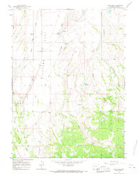
1965 · Pine Knoll
USGS Topo · 1:24,000
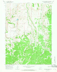
1965 · Moslander Reservoir
USGS Topo · 1:24,000