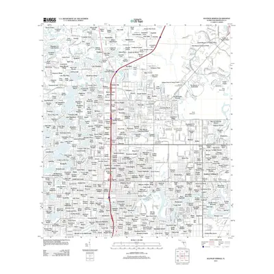
2012 Map of Sulphur Springs
USGS Topo · Published 2012About this map
The Hillsborough River winds through this urbanized landscape north of Tampa, serving as a primary natural corridor amidst rapidly expanding residential subdivisions and academic institutions. The sprawling campus of the University of South Florida dominates the eastern section, complemented nearby by specialized sites like the University of South Florida Soccer and Track Stadium. This era shows a dense network of suburban lakefront living, where established neighborhoods like Brant Lake Village and Livingston Place are interspersed with numerous small bodies of water including Lake Magdalene and Lake Chapman. Longstanding community anchors are visible throughout, from the historic Robles Cem to the Babe Zaharias Golf Course. The map captures the infrastructure of a modern Florida metropolitan hub, defined by the heavy transit corridors of Csx Transportation and the intersection of major interstates that have reshaped the original wetlands and citrus groves into a continuous developed grid.
Find a feature on this map
438 named features on this map. Tap any name to fly to it.
Don’t see what you’re looking for? This feature index may not catch every label — zoom into the map to look around manually.
Map Details
Editions of this 2012 Sulphur Springs Map
This is the sole edition of this map. No revisions or reprints were ever made.
Other maps of this area

1921 · Tampa
USGS Topo · 1:62,500

1921 · St Petersburg
USGS Topo · 1:62,500

1943 · Gandy Bridge
USGS Topo · 1:31,680

1943 · Odessa
USGS Topo · 1:24,000

1943 · Thonotosassa
USGS Topo · 1:24,000

1943 · Lutz
USGS Topo · 1:24,000

1944 · Sulphur Springs
USGS Topo · 1:31,680

1944 · Mango
USGS Topo · 1:31,680

1944 · Tampa
USGS Topo · 1:31,680

1944 · Wesley Chapel
USGS Topo · 1:31,680