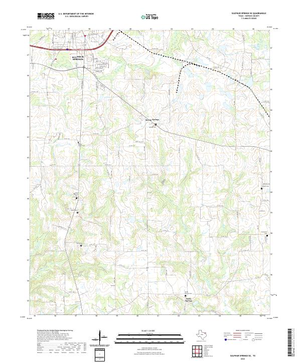
2022 Map of Sulphur Springs SE
USGS Topo · Published 2022About this map
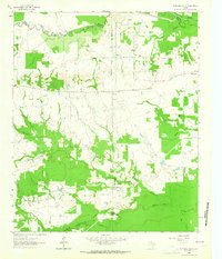
Sulphur Springs anchors the northwestern corner of this Hopkins County landscape, where the urban grid gives way to a network of rural county roads and agricultural creek bottoms. The southeastern outskirts are defined by a series of distinct local communities, including Martin Springs and Reilly Springs, each centered around its namesake cemetery. This area is heavily dissected by small waterways and drainage basins, including Gideon Cr and Running Cr, which feed into several local bodies of water like Jennings Lake and Berry Lake. Genealogists will find a high density of rural burial grounds throughout the quadrangle, ranging from the large Restlawn Memorial Park to smaller historic sites like Shooks Chapel Cem, Union Cem, and Gamblin Cem. The map illustrates a contemporary pattern of land use where residential developments like Austin Acre Rd meet the expansive rural tracts that characterize the Texas Blackland Prairies.
Find a feature on this map
103 named features on this map. Tap any name to fly to it.
Don’t see what you’re looking for? This feature index may not catch every label — zoom into the map to look around manually.
Map Details
Editions of this 2022 Sulphur Springs SE Map
This is the sole edition of this map. No revisions or reprints were ever made.
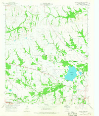
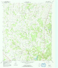
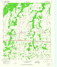
Historical Maps of Tazewell Through Time
18 maps found
1962 Brashear
Hopkins County, TX
1962 Miller Grove
Hopkins County, TX
1962 Sulphur Bluff
Hopkins County, TX
1963 Mitchell Creek
Hopkins County, TX
1964 Gafford Chapel
Hopkins County, TX
1964 Purley
Hopkins County, TX
1964 Saltillo
Hopkins County, TX
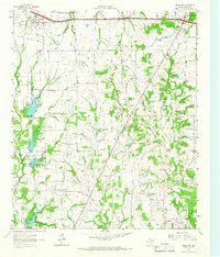
1964 Sulphur Springs SE
Hopkins County, TX
1965 Dike
Hopkins County, TX
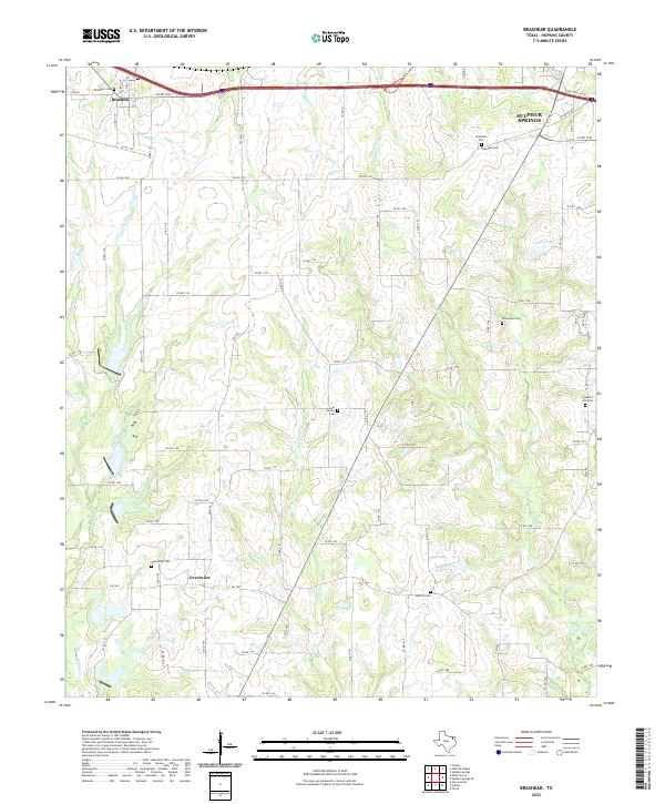
2022 Brashear
Hopkins County, TX
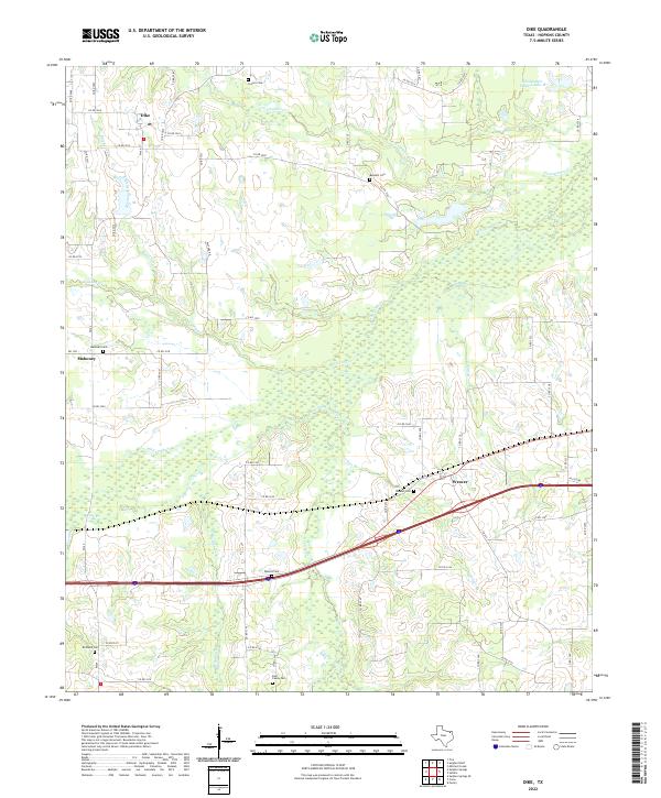
2022 Dike
Hopkins County, TX
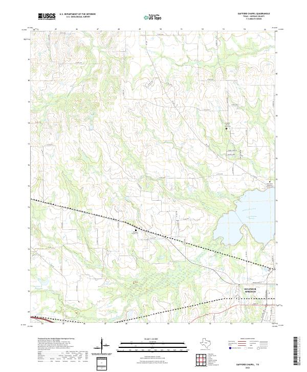
2022 Gafford Chapel
Hopkins County, TX
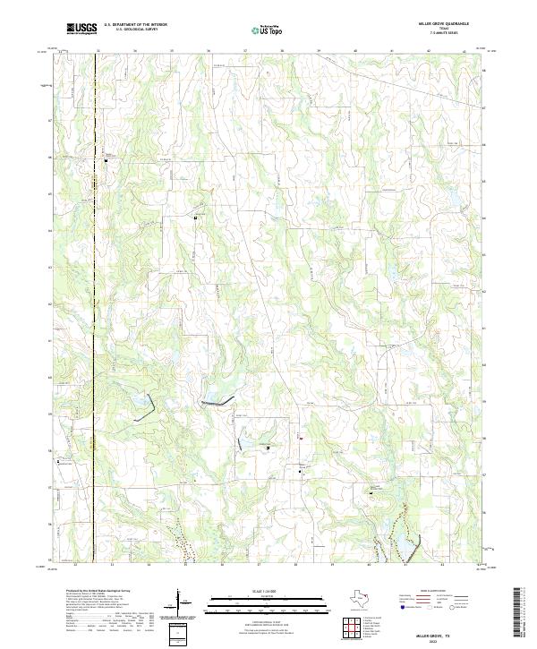
2022 Miller Grove
Hopkins County, TX
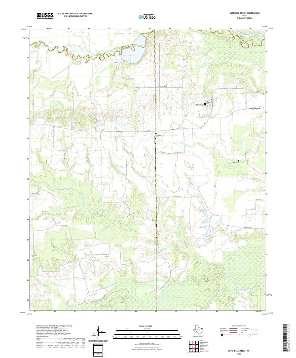
2022 Mitchell Creek
Hopkins County, TX
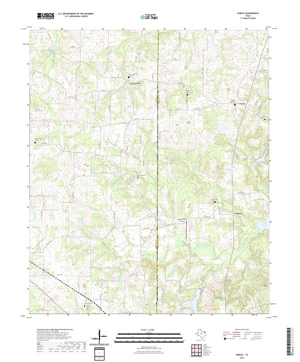
2022 Purley
Hopkins County, TX
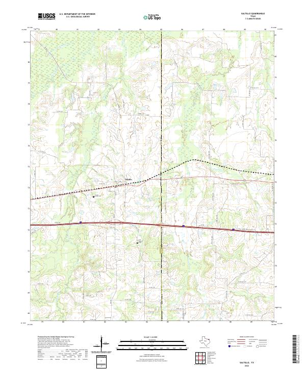
2022 Saltillo
Hopkins County, TX
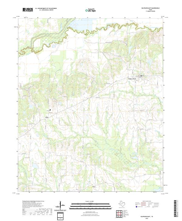
2022 Sulphur Bluff
Hopkins County, TX
2022 Sulphur Springs SE
Hopkins County, TX