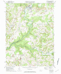
1969 Map of Summerville
USGS Topo · Published 1984About this map
Summerville serves as the primary hub of activity in this 1969 study, situated where the Penn Central line follows the curves of Red Bank Creek. The landscape is a complex intersection of natural drainages and heavy industry, particularly evidenced by the Strip Mines scattered throughout the northeastern hills near Conifer. The presence of numerous small family-named cemeteries, such as Vandervort Cem and Carrier Cem, alongside rural congregations like Mt Pleasant Ch and Bethlehem Ch, indicates a deeply rooted community structure even in more remote sections of Clover and Ringgold. The map also captures the path of the Pittsburg and Shawmut railroad as it winds toward Heathville. This area is defined by its transition from water-powered settlement patterns to a rail-and-resource economy, with smaller hamlets like Langville and Worthville anchored along the Little Sandy Creek.
Find a feature on this map
53 named features on this map. Tap any name to fly to it.
Don’t see what you’re looking for? This feature index may not catch every label — zoom into the map to look around manually.
Map Details
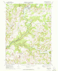
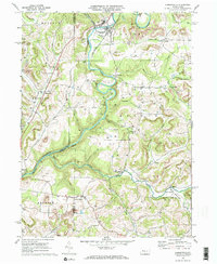
Editions of this 1969 Summerville Map
3 editions found
Other maps of this area

1901 · Rural Valley
USGS Topo · 1:62,500

1903 · Rural Valley
USGS Topo · 1:62,500

1906 · Clarion
USGS Topo · 1:62,500

1907 · Clarion
USGS Topo · 1:62,500

1909 · Smicksburg
USGS Topo · 1:62,500

1924 · Brookville
USGS Topo · 1:62,500

1926 · Brookville
USGS Topo · 1:62,500

1938 · Smicksburg
USGS Topo · 1:62,500

1939 · Smicksburg
USGS Topo · 1:62,500

1944 · Brookville
USGS Topo · 1:62,500