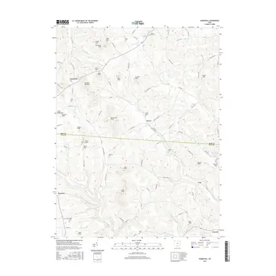
2016 Map of Summithill
USGS Topo · Published 2016About this map
Pee Pee Creek and the southern slopes of the Appalachian foothills define this section of southern Ohio, where the borders of Ross and Pike counties meet. The landscape is characterized by a series of prominent peaks and high ridges, including Selby Knob, Gantz Knob, and Potato Ridge, which dictate the winding paths of rural roads like Valley Road and County Highway 165. Small, established communities such as Summithill, Denver, and Peck are dispersed throughout the hills, often centered near these tributary drainages.
Find a feature on this map
98 named features on this map. Tap any name to fly to it.
Don’t see what you’re looking for? This feature index may not catch every label — zoom into the map to look around manually.
Map Details
Editions of this 2016 Summithill Map
This is the sole edition of this map. No revisions or reprints were ever made.
Other maps of this area

1906 · Waverly
USGS Topo · 1:62,500

1906 · Chillicothe
USGS Topo · 1:62,500

1908 · Chillicothe
USGS Topo · 1:62,500

1908 · Waverly
USGS Topo · 1:62,500

1912 · Roxabell
USGS Topo · 1:62,500

1914 · Roxabell
USGS Topo · 1:62,500

1915 · Piketon
USGS Topo · 1:62,500

1917 · Piketon
USGS Topo · 1:62,500

1944 · Piketon
USGS Topo · 1:62,500

1944 · Roxabell
USGS Topo · 1:62,500