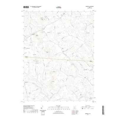
2019 Map of Summithill
USGS Topo · Published 2019About this map
Waverly and the surrounding high ground of the Ross Co and Pike Co border are defined by a complex network of knobs and ridges. This landscape is dotted with small, family and community burial grounds that offer significant genealogical value, including Klutz Cem, Seelig Cem, and Gladstone Cem. The terrain rises to distinct peaks such as Horseback Knob, Sams Knob, and Chestnut Oak Knob, which have historically dictated the winding paths of local thoroughfares like Valley RD and Turkey Run RD.
Find a feature on this map
101 named features on this map. Tap any name to fly to it.
Don’t see what you’re looking for? This feature index may not catch every label — zoom into the map to look around manually.
Map Details
Editions of this 2019 Summithill Map
This is the sole edition of this map. No revisions or reprints were ever made.
Other maps of this area

1906 · Waverly
USGS Topo · 1:62,500

1906 · Chillicothe
USGS Topo · 1:62,500

1908 · Chillicothe
USGS Topo · 1:62,500

1908 · Waverly
USGS Topo · 1:62,500

1912 · Roxabell
USGS Topo · 1:62,500

1914 · Roxabell
USGS Topo · 1:62,500

1915 · Piketon
USGS Topo · 1:62,500

1917 · Piketon
USGS Topo · 1:62,500

1944 · Piketon
USGS Topo · 1:62,500

1944 · Roxabell
USGS Topo · 1:62,500