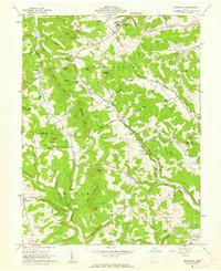
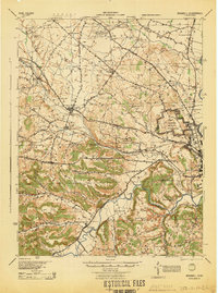
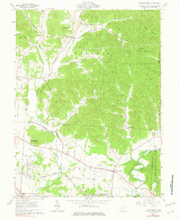
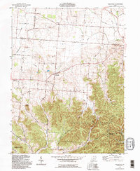
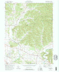
1961 Map of Summithill
USGS Topo · Published 1962This historical map portrays the area of Summithill in 1961, primarily covering Ross County as well as portions of Pike County. Featuring a scale of 1:24000, this map provides a highly detailed snapshot of the terrain, roads, buildings, counties, and historical landmarks in the Summithill region at the time. Published in 1962, it is one of 3 known editions of this map due to revisions or reprints.
Find a feature on this map
66 named features on this map. Tap any name to fly to it.
Don’t see what you’re looking for? This feature index may not catch every label — zoom into the map to look around manually.
Map Details
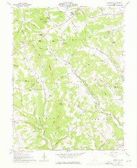
Editions of this 1961 Summithill Map
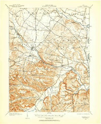
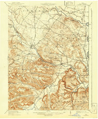
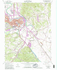
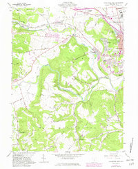
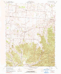
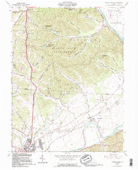
Historical Maps of Waverly Through Time
13 maps found
1912 Roxabell
Ross County, OH
1914 Roxabell
Ross County, OH
1944 Roxabell
Ross County, OH
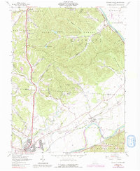
1961 Chillicothe East
Ross County, OH
1961 Chillicothe West
Ross County, OH
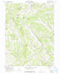
1961 Hallsville
Ross County, OH
1961 Londonderry
Ross County, OH
1961 Morgantown
Ross County, OH
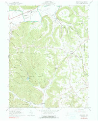
1961 Summithill
Ross County, OH
1961 Waverly North
Ross County, OH
1992 Hallsville
Ross County, OH
1992 Londonderry
Ross County, OH
1992 Waverly North
Ross County, OH
Featured Locations
- Yankeetown, OH
- Pebble Township, OH
- Pee Pee Township, OH
- Buchanan, Pebble Township
- Waverly, Pee Pee Township