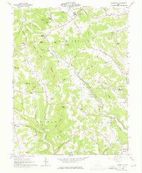
1961 Map of Summithill
USGS Topo · Published 1976About this map
Summithill and the surrounding southern Ohio uplands are defined by a complex network of ridges and knobs, including Gundy Knob and Chestnut Oak Ridge. The rural landscape is divided by the Ross Co and Pike Co line, where small communities and family burial grounds are tucked into the valleys of Pee Pee Creek and Crooked Creek. The Detroit Toledo and Ironton railroad provides a critical transportation corridor through the rugged terrain, following the natural curves of the Left Fork Crooked Creek past the settlement of Denver.
Find a feature on this map
73 named features on this map. Tap any name to fly to it.
Don’t see what you’re looking for? This feature index may not catch every label — zoom into the map to look around manually.
Map Details
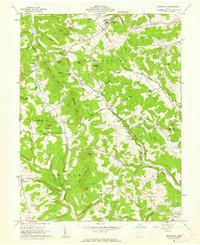
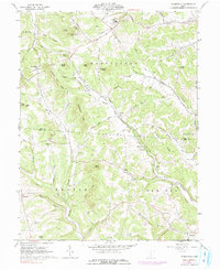
Editions of this 1961 Summithill Map
Other maps of this area

1906 · Waverly
USGS Topo · 1:62,500

1906 · Chillicothe
USGS Topo · 1:62,500

1908 · Chillicothe
USGS Topo · 1:62,500

1908 · Waverly
USGS Topo · 1:62,500

1912 · Roxabell
USGS Topo · 1:62,500

1914 · Roxabell
USGS Topo · 1:62,500

1915 · Piketon
USGS Topo · 1:62,500

1917 · Piketon
USGS Topo · 1:62,500

1944 · Piketon
USGS Topo · 1:62,500

1944 · Roxabell
USGS Topo · 1:62,500