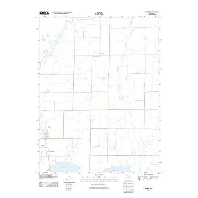
2012 Map of Sumner
USGS Topo · Published 2012About this map
Swan Lake National Wildlife Ref dominates the southern landscape of this Missouri quadrangle, where the waters of Swan Lake and Silver Lake are managed by the Levee 5-Swan Lake Dam. This wetland environment is fed by meandering waterways like Locust Creek, Turkey Creek, and the Tough Branch, illustrating the complex drainage patterns of Chariton County.
Find a feature on this map
50 named features on this map. Tap any name to fly to it.
Don’t see what you’re looking for? This feature index may not catch every label — zoom into the map to look around manually.
Map Details
Editions of this 2012 Sumner Map
This is the sole edition of this map. No revisions or reprints were ever made.
Other maps of this area

1924 · Chula
USGS Topo · 1:62,500

1924 · Hale
USGS Topo · 1:62,500

1946 · Brookfield
USGS Topo · 1:62,500

1947 · Chula
USGS Topo · 1:62,500

1948 · Brookfield
USGS Topo · 1:62,500

1949 · Mendon
USGS Topo · 1:24,000

1949 · Indian Grove
USGS Topo · 1:24,000

1949 · Sumner
USGS Topo · 1:24,000

1949 · Rothville
USGS Topo · 1:24,000

1950 · Sumner
USGS Topo · 1:24,000