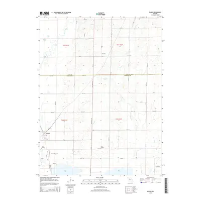
2015 Map of Sumner
USGS Topo · Published 2015About this map
The lowlands of the Grand River basin define this portion of Missouri, where Sumner and Cunningham sit amid a complex network of wetlands and drainage. The landscape is marked by numerous water bodies including Stanley Lake, Swan Lake, and Silver Lake, which reflect the area's riverine geography. Small rural settlements like Forker are connected by a grid of local roads such as Pershing Rd and Norfolk Rd, cutting through the border of Linn and Chariton Counties. For those researching family history, the map identifies several local burying grounds, including Purvis Cemetery north of Sumner and the Taylor Cemetery further east. The winding course of Locust Creek and its tributaries like Tough Br create a distinctive drainage pattern that has historically influenced the placement of homes and transport routes in this flood-prone region.
Find a feature on this map
65 named features on this map. Tap any name to fly to it.
Don’t see what you’re looking for? This feature index may not catch every label — zoom into the map to look around manually.
Map Details
Editions of this 2015 Sumner Map
This is the sole edition of this map. No revisions or reprints were ever made.
Other maps of this area

1924 · Chula
USGS Topo · 1:62,500

1924 · Hale
USGS Topo · 1:62,500

1946 · Brookfield
USGS Topo · 1:62,500

1947 · Chula
USGS Topo · 1:62,500

1948 · Brookfield
USGS Topo · 1:62,500

1949 · Mendon
USGS Topo · 1:24,000

1949 · Indian Grove
USGS Topo · 1:24,000

1949 · Sumner
USGS Topo · 1:24,000

1949 · Rothville
USGS Topo · 1:24,000

1950 · Sumner
USGS Topo · 1:24,000