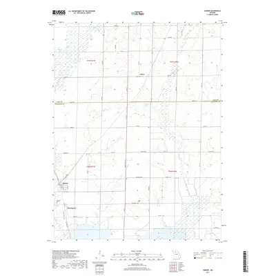
2017 Map of Sumner
USGS Topo · Published 2017About this map
Sumner anchors the southwestern portion of this Chariton County landscape, where the township line between t57n r21w and t56n r21w meets the meandering course of Locust Creek. The area is defined by its complex hydrology, with numerous wetlands and small bodies of water like Boiler Lake, Ransom Lake, and the cluster of Lewis lakes in the northwest. To the south, Silver Lake and Stanley Lake reflect a landscape shaped by the proximity of Cunningham and the seasonal flows of Tough Br. Rural life is marked by local family history sites such as Purvis Cem and Lakeside Cem near the town sites. Further north, the settlement of Forker sits at a crossroads, while the boundary between Linn County and Chariton County bisects the map horizontally, showing how local governance tracks across this water-rich terrain.
Find a feature on this map
61 named features on this map. Tap any name to fly to it.
Don’t see what you’re looking for? This feature index may not catch every label — zoom into the map to look around manually.
Map Details
Editions of this 2017 Sumner Map
This is the sole edition of this map. No revisions or reprints were ever made.
Other maps of this area

1924 · Chula
USGS Topo · 1:62,500

1924 · Hale
USGS Topo · 1:62,500

1946 · Brookfield
USGS Topo · 1:62,500

1947 · Chula
USGS Topo · 1:62,500

1948 · Brookfield
USGS Topo · 1:62,500

1949 · Mendon
USGS Topo · 1:24,000

1949 · Indian Grove
USGS Topo · 1:24,000

1949 · Sumner
USGS Topo · 1:24,000

1949 · Rothville
USGS Topo · 1:24,000

1950 · Sumner
USGS Topo · 1:24,000