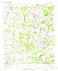
1962 Map of Sumner
USGS Topo · Published 1965About this map
Cassidy Bayou and the Tallahatchie River define the Delta landscape of this mid-century survey, where the Illinois Central railroad anchors a string of small agricultural communities. From Sumner and Webb in the north down to Minter City at the southern boundary, the map documents a territory heavily shaped by flood control and drainage. Engineered modifications to the natural waterway are evident in the Upper Glendora Cut-off (1942) and Lower Glendora Cut-off (1942) near Glendora. Social and civic life is anchored by dozens of rural landmarks, including the Silver Star Ch, Frierson Chapel, and the Jenkins Cem. Notable for local researchers is the presence of the State Reservation at Parchman and various ancient features such as the Indian Mound locations near Mikoma and Albin, indicating a long history of human occupation along the bayous and brakes.
Find a feature on this map
88 named features on this map. Tap any name to fly to it.
Don’t see what you’re looking for? This feature index may not catch every label — zoom into the map to look around manually.
Map Details
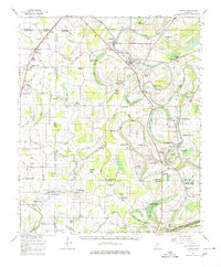
Editions of this 1962 Sumner Map
2 editions found
Other maps of this area

1931 · Schlater
USGS Topo · 1:48,000

1931 · Sumner
USGS Topo · 1:48,000

1931 · Drew
USGS Topo · 1:48,000

1932 · Philipp
USGS Topo · 1:48,000

1932 · Tutwiler
USGS Topo · 1:48,000

1934 · Cleveland
USGS Topo · 1:62,500

1934 · Schlater
USGS Topo · 1:62,500

1935 · Clarksdale
USGS Topo · 1:62,500

1935 · Crowder
USGS Topo · 1:62,500

1935 · Sumner
USGS Topo · 1:62,500