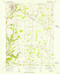
1955 Map of Sunbury
USGS Topo · Published 1956About this map
Sunbury sits at the junction of rail and river in the mid-1950s, anchored by the Pennsylvania Railroad railroad line and the Big Walnut Creek. This period captures the landscape just as the northern reach of the Hoover Reservoir begins to shape the terrain near Galena, indicating a significant shift in local hydrology and land use. The map reveals a dense network of small communities and rural institutions, from the Big Walnut High Sch to numerous country churches like Trenton Ch and Vans Valley Ch.
Find a feature on this map
42 named features on this map. Tap any name to fly to it.
Don’t see what you’re looking for? This feature index may not catch every label — zoom into the map to look around manually.
Map Details
Editions of this 1955 Sunbury Map
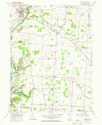
2 editions found
Other maps of this area

1902 · Westerville
USGS Topo · 1:62,500

1904 · Westerville
USGS Topo · 1:62,500

1908 · Granville
USGS Topo · 1:62,500

1910 · Granville
USGS Topo · 1:62,500

1915 · Marengo
USGS Topo · 1:62,500

1915 · Fredericktown
USGS Topo · 1:62,500

1943 · Marengo
USGS Topo · 1:62,500

1943 · Fredericktown
USGS Topo · 1:62,500

1950 · Marion
USGS Topo · 1:250,000
1954 · Northeast Columbus
USGS Topo · 1:24,000