
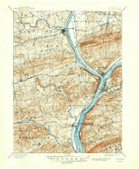
1893 Map of Sunbury
USGS Topo · Published 1893About this map
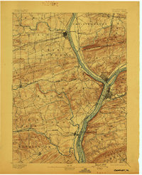
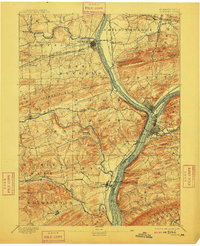
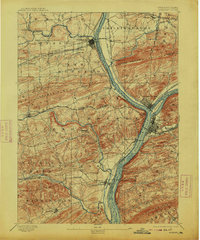
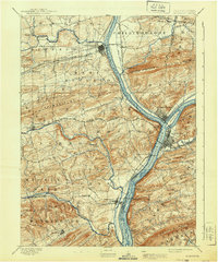
The confluence of the North Branch and the West Branch Susquehanna River serves as the geographic and economic anchor of this late nineteenth-century landscape. This intersection is the site of Northumberland and Sunbury, where a dense network of transit infrastructure converges. The Penn Canal and various branches of the Pennsylvania Canal follow the riverbanks, supporting an era of waterborne freight alongside competing rail lines like the Buffalo Valley RR and the Shamokin Division Northern Central Railroad.
Find a feature on this map
59 named features on this map. Tap any name to fly to it.
Don’t see what you’re looking for? This feature index may not catch every label — zoom into the map to look around manually.
Map Details
Editions of this 1893 Sunbury Map
6 editions found
Other maps of this area

1892 · Lykens
USGS Topo · 1:62,500

1892 · Shamokin
USGS Topo · 1:62,500

1893 · Lykens
USGS Topo · 1:62,500

1893 · Shamokin
USGS Topo · 1:62,500

1893 · Millersburg
USGS Topo · 1:62,500

1907 · Millerstown
USGS Topo · 1:62,500

1921 · Williamsport
USGS Topo · 1:48,000

1923 · Williamsport
USGS Topo · 1:62,500

1924 · Milton
USGS Topo · 1:62,500

1935 · Hughesville
USGS Topo · 1:62,500