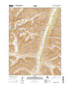
2016 Map of Survey Pass B-3 NW
USGS Topo · Published 2016About this map
Gates of the Arctic National Park encompasses the majority of this mountainous Alaskan landscape, preserving a wilderness of extreme topographic relief. The terrain is defined by steep ridges and glacial valleys, with Aulinyak Cr serving as the primary drainage through the central and northeastern sections of the quadrangle. This 2016 survey highlights a region devoid of permanent settlements or modern road infrastructure, representing a preservation of the high Arctic environment as it existed in the early twenty-first century. The intricate contour lines reveal a complex network of high peaks and alpine basins that remain largely unchanged by human development, providing a clear record of the watershed patterns within the Brooks Range.
Find a feature on this map
6 named features on this map. Tap any name to fly to it.
Don’t see what you’re looking for? This feature index may not catch every label — zoom into the map to look around manually.
Map Details
Editions of this 2016 Survey Pass B-3 NW Map
This is the sole edition of this map. No revisions or reprints were ever made.
Other maps of this area

1951 · Survey Pass
USGS Topo · 1:250,000

1956 · Survey Pass
USGS Topo · 1:250,000

1964 · Survey Pass
USGS Topo · 1:250,000

1966 · Survey Pass
USGS Topo · 1:250,000
1986 · Survey Pass C-3
USGS Topo · 1:63,360
1986 · Survey Pass C-4
USGS Topo · 1:63,360
1990 · Survey Pass B-4
USGS Topo · 1:63,360
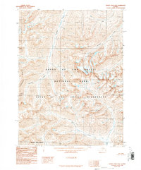
1990 · Survey Pass B-3
USGS Topo · 1:63,360
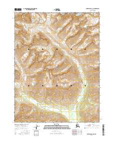
2016 · Survey Pass B-3 SE
USGS Topo · 1:25,000
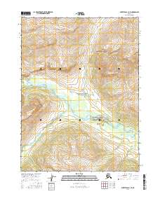
2016 · Survey Pass C-3 SE
USGS Topo · 1:25,000