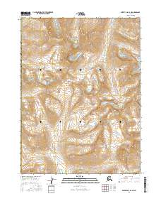
2016 Map of Survey Pass B-4 NE
USGS Topo · Published 2016About this map
Gates of the Arctic National Park dominates this portion of the Yukon-Koyukuk Census Area, capturing a high-altitude wilderness defined by the Continental Divide. This 2016 survey illustrates the remote watershed boundaries of the central Brooks Range, where the terrain dictates the flow of glacial-fed waters like Goshelpme Cr and Kaluluktok Cr. The inclusion of Akabluak Pass highlights a significant natural corridor through the mountains, a feature critical for understanding historic movement and seasonal wildlife patterns in this roadless region. The map provides a precise layout of the Public Land Survey System, dividing the landscape into townships such as t24n r19e and t23n r19e despite the absence of permanent human settlements.
Find a feature on this map
12 named features on this map. Tap any name to fly to it.
Don’t see what you’re looking for? This feature index may not catch every label — zoom into the map to look around manually.
Map Details
Editions of this 2016 Survey Pass B-4 NE Map
This is the sole edition of this map. No revisions or reprints were ever made.
Other maps of this area

1951 · Survey Pass
USGS Topo · 1:250,000

1956 · Survey Pass
USGS Topo · 1:250,000

1964 · Survey Pass
USGS Topo · 1:250,000

1966 · Survey Pass
USGS Topo · 1:250,000
1986 · Survey Pass C-3
USGS Topo · 1:63,360
1986 · Survey Pass C-4
USGS Topo · 1:63,360
1990 · Survey Pass B-4
USGS Topo · 1:63,360
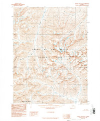
1990 · Survey Pass B-3
USGS Topo · 1:63,360
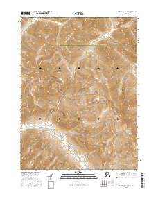
2016 · Survey Pass C-4 SW
USGS Topo · 1:25,000
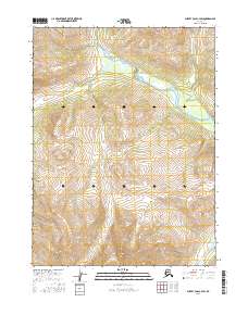
2016 · Survey Pass C-3 SW
USGS Topo · 1:25,000