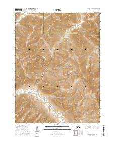
2016 Map of Survey Pass C-4 SW
USGS Topo · Published 2016About this map
The Noatak River meanders through the southern portion of this high-latitude terrain, where the Continental Divide serves as a critical geographic marker within the Gates of the Arctic National Park. This 2016 survey documents a landscape defined by significant elevation changes, from the prominent summit of Mt Paplok to the high passage at Gull Pass. The hydrological network is established by seasonal and perennial flows including Twelvemile Cr in the north and Lucky Six Cr to the east. Situated at the boundary of the Yukon-Koyukuk Census Area and Northwest Arctic Borough, the map illustrates a protected wilderness where natural topography dictates the movement of water and wildlife across the Arctic tundra. The lack of human infrastructure emphasizes the region's status as a preserved environmental corridor.
Find a feature on this map
15 named features on this map. Tap any name to fly to it.
Don’t see what you’re looking for? This feature index may not catch every label — zoom into the map to look around manually.
Map Details
Editions of this 2016 Survey Pass C-4 SW Map
This is the sole edition of this map. No revisions or reprints were ever made.
Other maps of this area

1951 · Survey Pass
USGS Topo · 1:250,000

1956 · Survey Pass
USGS Topo · 1:250,000

1964 · Survey Pass
USGS Topo · 1:250,000

1966 · Survey Pass
USGS Topo · 1:250,000
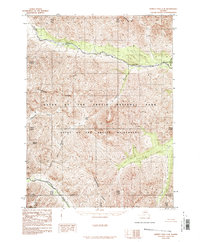
1986 · Survey Pass C-4
USGS Topo · 1:63,360
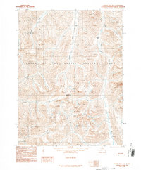
1990 · Survey Pass B-5
USGS Topo · 1:63,360
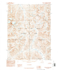
1990 · Survey Pass B-4
USGS Topo · 1:63,360
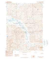
1990 · Survey Pass C-5
USGS Topo · 1:63,360
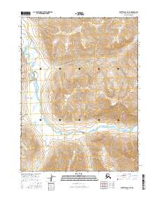
2016 · Survey Pass C-5 SE
USGS Topo · 1:25,000
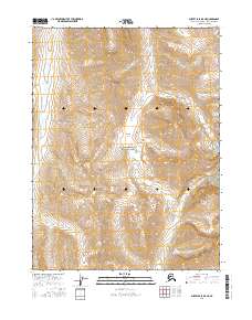
2016 · Survey Pass B-5 NE
USGS Topo · 1:25,000