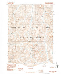
1990 Map of Survey Pass B-5
USGS Topo · Published 1990About this map
Reed Hot Springs sits at the southern edge of this 1990 survey, marking a geothermal point of interest in the Brooks Range. The landscape is defined by the protected territory of Gates of the Arctic National Park and the even more strictly preserved Gates of the Arctic Wilderness. High-altitude travel through this region is dictated by gaps in the terrain such as Angiaak Pass and Angunelechak Pass, while the prominent summit of Mount Chitiok serves as a major topographical landmark.
Find a feature on this map
11 named features on this map. Tap any name to fly to it.
Don’t see what you’re looking for? This feature index may not catch every label — zoom into the map to look around manually.
Map Details
Editions of this 1990 Survey Pass B-5 Map
This is the sole edition of this map. No revisions or reprints were ever made.
Other maps of this area

1951 · Survey Pass
USGS Topo · 1:250,000

1956 · Survey Pass
USGS Topo · 1:250,000

1964 · Survey Pass
USGS Topo · 1:250,000

1966 · Survey Pass
USGS Topo · 1:250,000
1986 · Survey Pass A-5
USGS Topo · 1:63,360
1986 · Survey Pass A-4
USGS Topo · 1:63,360
1986 · Survey Pass A-6
USGS Topo · 1:63,360
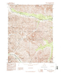
1986 · Survey Pass C-4
USGS Topo · 1:63,360
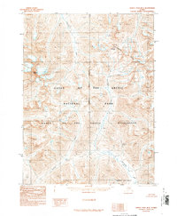
1990 · Survey Pass B-4
USGS Topo · 1:63,360
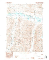
1990 · Survey Pass C-6
USGS Topo · 1:63,360