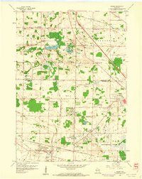
1959 Map of Sussex
USGS Topo · Published 1961About this map
Extensive Quarries and gravel pits define the industrial activity around Lannon and Sussex in the late 1950s. The landscape is a complex network of resource extraction and mid-century settlement, where the Chicago And North Western and Chicago Milwaukee ST Paul And Pacific rail lines intersect to support the local stone and transport economy. In the northern reaches of Lisbon and Richfield, the terrain transitions to a lake-dotted glacial geography featuring Bark Lake and Amy Bell Lake. Institutional footprints of the era are evident in the numerous rural schoolhouses such as North Lisbon Sch and Nelson Sch, alongside local landmarks like Mammoth Spring and Camp Minikani. The map also captures a small U S Military Reservation near Willow Springs, documenting the overlap of military, industrial, and residential land use during this period of Wisconsin's development.
Find a feature on this map
42 named features on this map. Tap any name to fly to it.
Don’t see what you’re looking for? This feature index may not catch every label — zoom into the map to look around manually.
Map Details
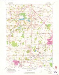
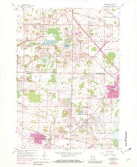
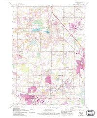
Editions of this 1959 Sussex Map
4 editions found
Other maps of this area

1892 · Waukesha
USGS Topo · 1:62,500

1892 · Oconomowoc
USGS Topo · 1:62,500

1901 · Waukesha
USGS Topo · 1:62,500

1904 · West Bend
USGS Topo · 1:62,500

1904 · Hartford
USGS Topo · 1:62,500

1906 · Waukesha
USGS Topo · 1:62,500

1909 · Oconomowoc
USGS Topo · 1:62,500

1957 · Madison
USGS Topo · 1:250,000
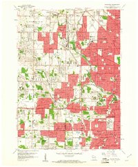
1958 · Wauwatosa
USGS Topo · 1:24,000
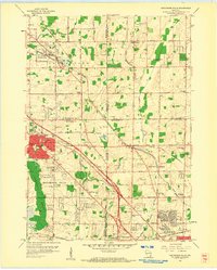
1958 · Menomonee Falls
USGS Topo · 1:24,000