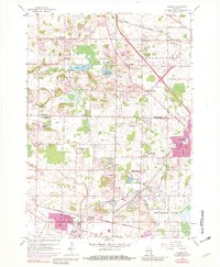
1959 Map of Sussex
USGS Topo · Published 1982About this map
Lannon and Sussex serve as the primary hubs in this mid-century survey of the Washington and Waukesha county border. The landscape is defined by its industrial activity, particularly the numerous Quarries and Gravel Pit sites concentrated near the village centers. This resource extraction economy is balanced by established community institutions, including the Zion Ch, Good Shepherd Sch, and Sunnyside Cem.
Find a feature on this map
41 named features on this map. Tap any name to fly to it.
Don’t see what you’re looking for? This feature index may not catch every label — zoom into the map to look around manually.
Map Details
Editions of this 1959 Sussex Map
4 editions found
Other maps of this area

1892 · Waukesha
USGS Topo · 1:62,500

1892 · Oconomowoc
USGS Topo · 1:62,500

1901 · Waukesha
USGS Topo · 1:62,500

1904 · West Bend
USGS Topo · 1:62,500

1904 · Hartford
USGS Topo · 1:62,500

1906 · Waukesha
USGS Topo · 1:62,500

1909 · Oconomowoc
USGS Topo · 1:62,500

1957 · Madison
USGS Topo · 1:250,000
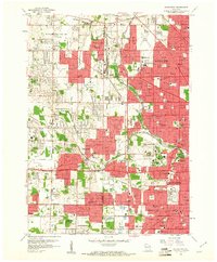
1958 · Wauwatosa
USGS Topo · 1:24,000
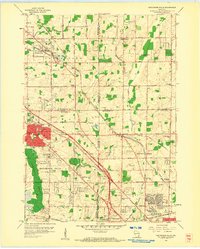
1958 · Menomonee Falls
USGS Topo · 1:24,000