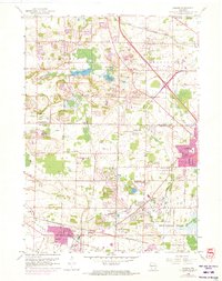
1959 Map of Sussex
USGS Topo · Published 1973About this map
Bark Lake and the smaller Amy Bell Lake anchor the glacial landscape of this 1959 survey, situated near the intersection of Richfield, Germantown, and Lisbon. The map documents a period of significant extraction and infrastructure, notably the extensive quarries surrounding Lannon and the northern reaches of Sussex. These industrial operations are closely tied to the transport network provided by the Chicago Milwaukee St Paul and Pacific and the Chicago and North Western railroads, which cross the region to support local commerce and development.
Find a feature on this map
35 named features on this map. Tap any name to fly to it.
Don’t see what you’re looking for? This feature index may not catch every label — zoom into the map to look around manually.
Map Details
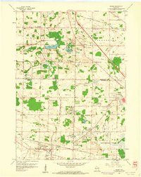
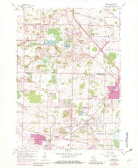
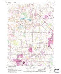
Editions of this 1959 Sussex Map
4 editions found
Other maps of this area

1892 · Waukesha
USGS Topo · 1:62,500

1892 · Oconomowoc
USGS Topo · 1:62,500

1901 · Waukesha
USGS Topo · 1:62,500

1904 · West Bend
USGS Topo · 1:62,500

1904 · Hartford
USGS Topo · 1:62,500

1906 · Waukesha
USGS Topo · 1:62,500

1909 · Oconomowoc
USGS Topo · 1:62,500

1957 · Madison
USGS Topo · 1:250,000
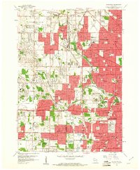
1958 · Wauwatosa
USGS Topo · 1:24,000
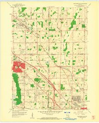
1958 · Menomonee Falls
USGS Topo · 1:24,000