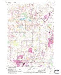
1959 Map of Sussex
USGS Topo · Published 1994About this map
Sussex and Lannon anchor this 1950s study of southeastern Wisconsin, where the landscape is defined by extensive Quarries and industrial extractive operations. The map documents the rural-to-suburban transition as the Germantown Corporate Boundary expands near the Menomonee River. Local life is recorded through a network of country schools and small crossroads settlements like Hubertus, Colgate, and Goldenthal.
Find a feature on this map
35 named features on this map. Tap any name to fly to it.
Don’t see what you’re looking for? This feature index may not catch every label — zoom into the map to look around manually.
Map Details
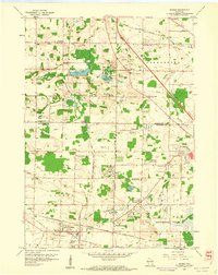
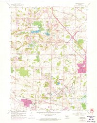
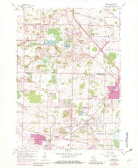
Editions of this 1959 Sussex Map
4 editions found
Other maps of this area

1892 · Waukesha
USGS Topo · 1:62,500

1892 · Oconomowoc
USGS Topo · 1:62,500

1901 · Waukesha
USGS Topo · 1:62,500

1904 · West Bend
USGS Topo · 1:62,500

1904 · Hartford
USGS Topo · 1:62,500

1906 · Waukesha
USGS Topo · 1:62,500

1909 · Oconomowoc
USGS Topo · 1:62,500

1957 · Madison
USGS Topo · 1:250,000
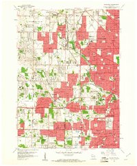
1958 · Wauwatosa
USGS Topo · 1:24,000
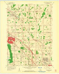
1958 · Menomonee Falls
USGS Topo · 1:24,000