
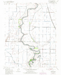
2021 Map of Sutter Buttes
USGS Topo · Published 2021This historical map portrays the area of Sutter Buttes in 2021, primarily covering Sutter. Featuring a scale of 1:24000, this map provides a highly detailed snapshot of the terrain, roads, buildings, counties, and historical landmarks in the Sutter Buttes region at the time. Published in 2021, it is the sole known edition of this map.
Map Details
Editions of this 2021 Sutter Buttes Map
This is the sole edition of this map. No revisions or reprints were ever made.
Historical Maps of Mount Vernon Through Time
20 maps found
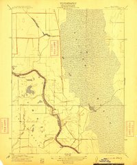
1910 Marcuse
Sutter County, CA
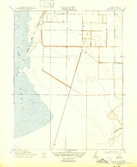
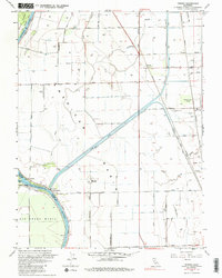
1910 Vernon
Sutter County, CA
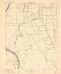
1911 Gilsizer Slough
Sutter County, CA
1912 Marysville Buttes
Sutter County, CA
1912 Tisdale Weir
Sutter County, CA
1915 Kirkville
Sutter County, CA
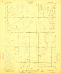
1952 Gilsizer Slough
Sutter County, CA
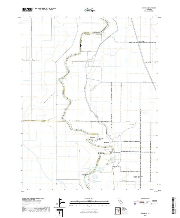
1952 Kirkville
Sutter County, CA
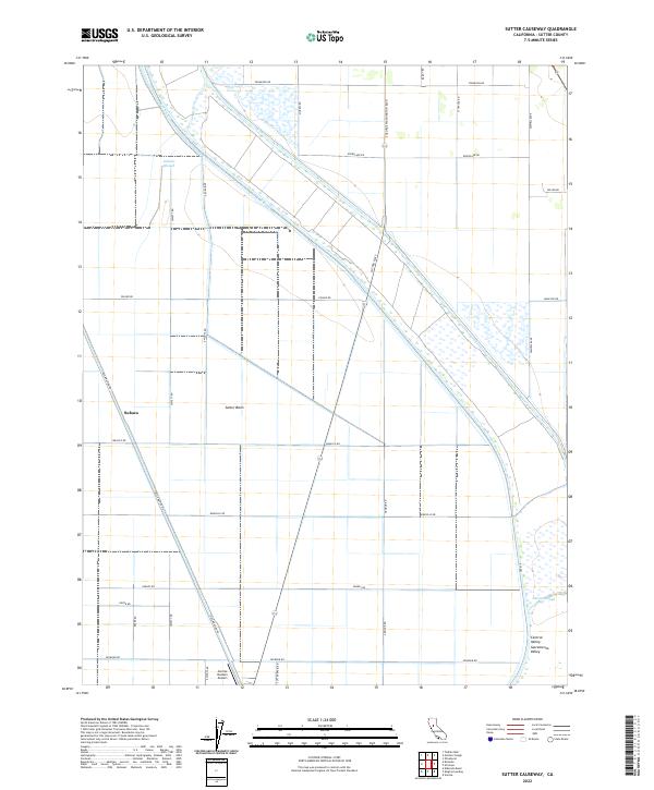
1952 Sutter Causeway
Sutter County, CA
1952 Tisdale Weir
Sutter County, CA
1952 Verona
Sutter County, CA
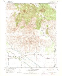
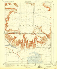
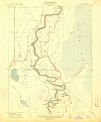
1954 Sutter Buttes
Sutter County, CA
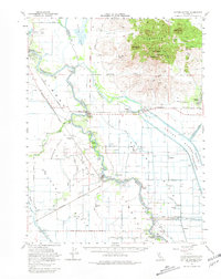
1954 Sutter Buttes
Sutter County, CA
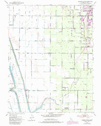
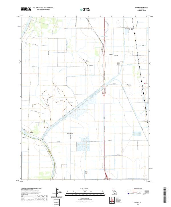
1967 Verona
Sutter County, CA
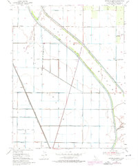
2021 Sutter Buttes
Sutter County, CA
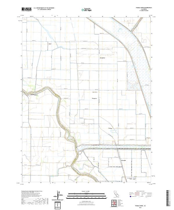
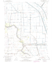
2021 Tisdale Weir
Sutter County, CA
2022 Gilsizer Slough
Sutter County, CA
2022 Kirkville
Sutter County, CA
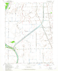
2022 Sutter Causeway
Sutter County, CA
2022 Verona
Sutter County, CA