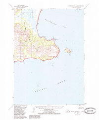
1963 Map of Sutwik Island C-5
USGS Topo · Published 1985About this map
Aniakchak National Preserve dominates this coastal landscape, where the volcanic geography meets the Pacific Ocean. The coastline is defined by the massive headland of Cape Kumlik and the prominent Elephant Head Point, which shelters the waters of Aniakchak Bay. Inland, the drainage patterns of Aniakchak Creek, Wolverine Creek, and Black Creek illustrate the complex watershed of this remote peninsula. Sparse evidence of human activity is recorded during this mid-century period, noted only by a small Village and isolated Cabin structures near the Lagoon. These features, along with Kumlik Island, provide essential landmarks for understanding the early surveying of this Alaskan wilderness before modern development or expanded conservation efforts altered the accessible record of the region.
Find a feature on this map
13 named features on this map. Tap any name to fly to it.
Don’t see what you’re looking for? This feature index may not catch every label — zoom into the map to look around manually.
Map Details
Editions of this 1963 Sutwik Island C-5 Map
2 editions found
Other maps of this area

1951 · Sutwik Island
USGS Topo · 1:250,000

1963 · Sutwik Island B-6
USGS Topo · 1:63,360
1963 · Sutwik Island C-4
USGS Topo · 1:63,360

1963 · Sutwik Island
USGS Topo · 1:250,000

1963 · Sutwik Island C-6
USGS Topo · 1:63,360
1963 · Sutwik Island C-5
USGS Topo · 1:63,360
1963 · Sutwik Island D-5
USGS Topo · 1:63,360
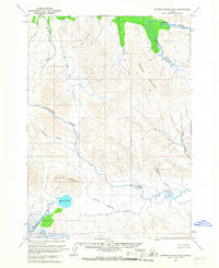
1963 · Sutwik Island D-6
USGS Topo · 1:63,360
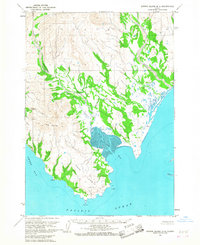
1963 · Sutwik Island D-4
USGS Topo · 1:63,360
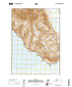
2019 · Sutwik Island D-4 SW
USGS Topo · 1:25,000