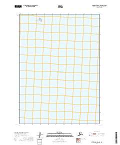
2019 Map of Sutwik Island D-2 NE
USGS Topo · Published 2019About this map
Pacific Ocean waters dominate this remote coastal survey of the Alaska Peninsula region. The map captures a largely aquatic landscape where the open sea meets a small, solitary landform known as Navy Island. This isolated island sits in the northern portion of the grid, providing a distinct reference point for maritime navigation or historical land-use research in this part of Lake and Peninsula Borough. The absence of roads or established coastal infrastructure in this 2019 data highlights the wilderness character of the area, typical of the coastal fringes along the Pacific Ocean where the environment remains shaped by tidal forces and marine activity rather than human settlement.
Find a feature on this map
3 named features on this map. Tap any name to fly to it.
Don’t see what you’re looking for? This feature index may not catch every label — zoom into the map to look around manually.
Map Details
Editions of this 2019 Sutwik Island D-2 NE Map
This is the sole edition of this map. No revisions or reprints were ever made.
Other maps of this area

1943 · Ugashik
USGS Topo · 1:250,000

1948 · Ugashik
USGS Topo · 1:250,000

1949 · Ugashik
USGS Topo · 1:250,000

1951 · Sutwik Island
USGS Topo · 1:250,000

1951 · Ugashik A-2
USGS Topo · 1:63,360

1963 · Sutwik Island
USGS Topo · 1:250,000

1963 · Ugashik
USGS Topo · 1:250,000
1989 · Sutwik Island D-2
USGS Topo · 1:63,360
2019 · Sutwik Island D-2 NW
USGS Topo · 1:25,000
2019 · Ugashik A-2 SW
USGS Topo · 1:25,000